


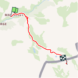

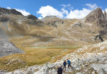
16.7 km | 31 km-effort

User


FREE GPS app for hiking
 SityTrail
IGN / Geographical institutes
SityTrail World
The world is yours!
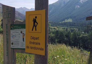
Trail Walking of 8.8 km to be discovered at Provence-Alpes-Côte d'Azur, Alpes-de-Haute-Provence, Saint-Paul-sur-Ubaye. This trail is proposed by Gouze13.
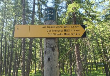
retour même itinéraire
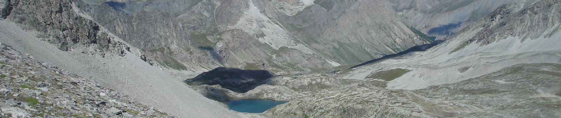
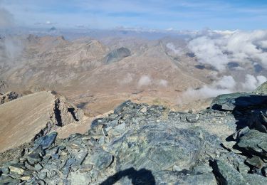
Itinéraire hors sentier sur sa moitié haute. Expérience requise.


Walking
Walking

Walking
Walking
Walking
Walking
Walking

Touring skiing
Walking