


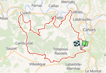

62 km | 81 km-effort

User


FREE GPS app for hiking
 SityTrail
IGN / Geographical institutes
SityTrail World
The world is yours!
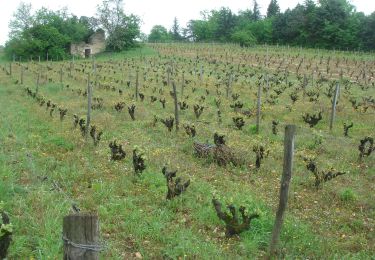
Trail Mountain bike of 59 km to be discovered at Occitania, Lot, Cahors. This trail is proposed by tracegps.
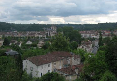
14 Mai 2006 Les raids de Cahors-La Rozière des années passées sont, de l'avis de tous, des références en la matière. Tant d'un point de vue ludique que d'un point de vue technique, mais ce qu'il en ressort avant tout c'est la coutumière difficulté physique de ce raid..... La suite est ICI


Mountain bike

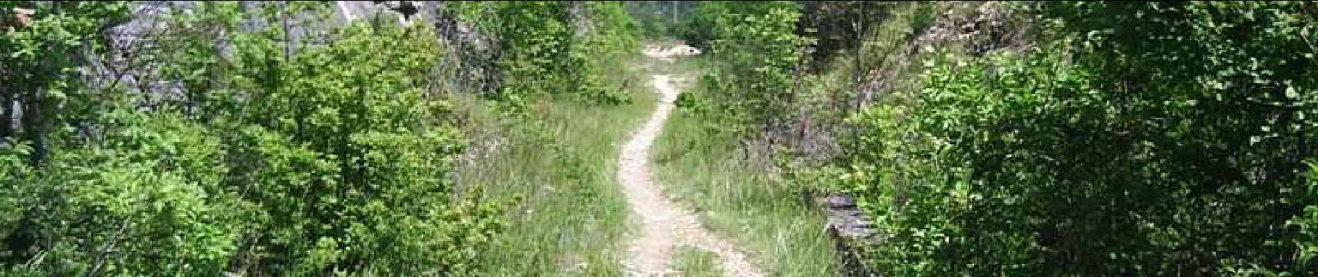
Walking
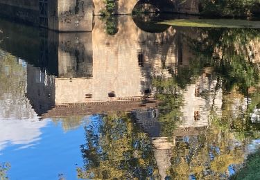
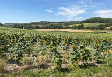
Walking

Walking

Mountain bike

Walking
Running