


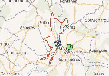

10.7 km | 12.7 km-effort


User


FREE GPS app for hiking
 SityTrail
IGN / Geographical institutes
SityTrail World
The world is yours!
Trail Mountain bike of 19.1 km to be discovered at Occitania, Gard, Sommières. This trail is proposed by tracegps.
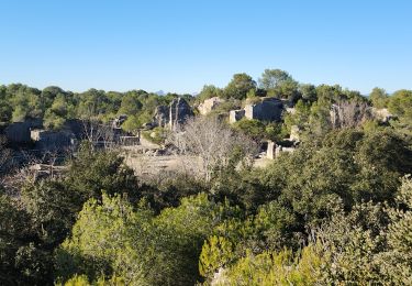
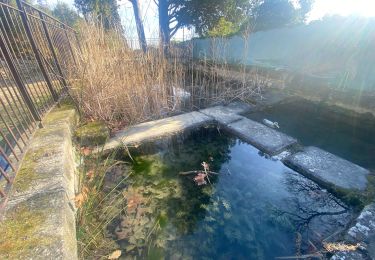
A la croisée des chemins entre Nîmes et Montpellier, la camargue et les Cévennes, le Pays Terres de Sommières est une base de loisirs idéale. Nos villages cachent les vestiges hérités du moyen-âge. Les producteurs vous font partager leur amour du travail bien fait. De nombreux chemins sillonent garrigue, pinède et vignoble et offrent libre cours aux activités. Les rives du Vidourle se prêtent à la pêche, au canoë ou à la baignade... sans oublier que vous vous laisserez entrainer dans de folles fêtes (jazz, classique, taureaux, fêtes médiévales...). (Source gites-de-france-gard.asso.fr)


Walking

Walking
Walking

Walking
Walking

Walking
Walking
Walking