


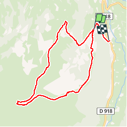


8 km | 11.1 km-effort


User


FREE GPS app for hiking
 SityTrail
IGN / Geographical institutes
SityTrail World
The world is yours!
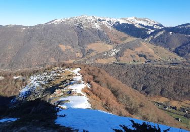
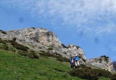
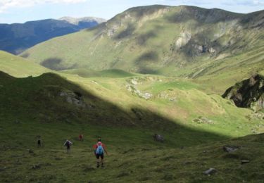
Trail Walking of 9.5 km to be discovered at Occitania, Hautespyrenees, Campan. This trail is proposed by tracegps.
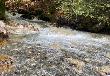
Départ de la Vallée de Gripp, sur les rives de l'Adour, du camping des Bulanettes.


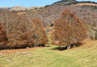
Walking
Walking
Walking
Walking
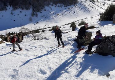
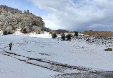
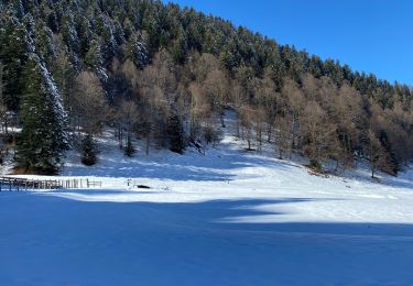
Snowshoes
Walking
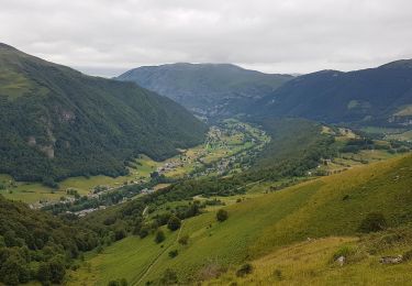
Walking
Walking
Walking