


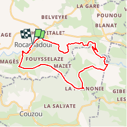


16.6 km | 22 km-effort


User


FREE GPS app for hiking
 SityTrail
IGN / Geographical institutes
SityTrail World
The world is yours!
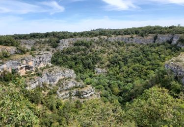
Trail Walking of 16.3 km to be discovered at Occitania, Lot, Rocamadour. This trail is proposed by tracegps.
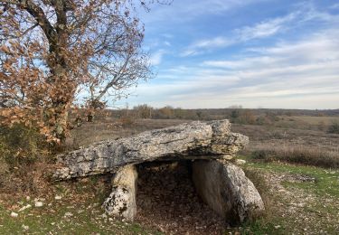
Rocamadour au petit matin, magnifique! Superbe vue sur la vallée de l’Alzou avant la descente... Tout est dit sur l'excellent site Rando.eu

Walking

Walking

Walking

Walking
On foot

Walking

Walking