


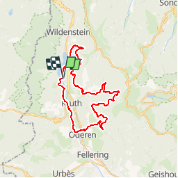

16.8 km | 27 km-effort

User


FREE GPS app for hiking
 SityTrail
IGN / Geographical institutes
SityTrail World
The world is yours!
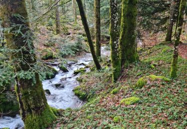
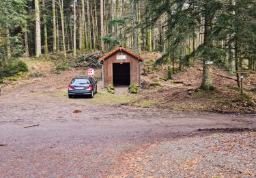
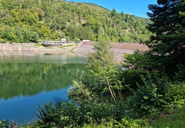
Trail Mountain bike of 27 km to be discovered at Grand Est, Haut-Rhin, Kruth. This trail is proposed by tracegps.
D'autres infos et une carte détaillée sont disponibles ICI

Walking

Walking
Walking

Walking

Walking
Walking
Walking
Walking
Walking