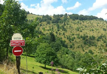
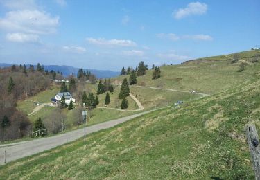
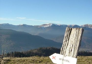
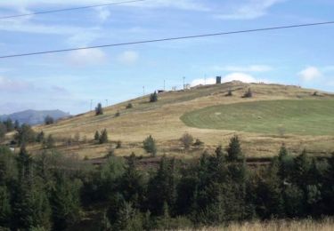
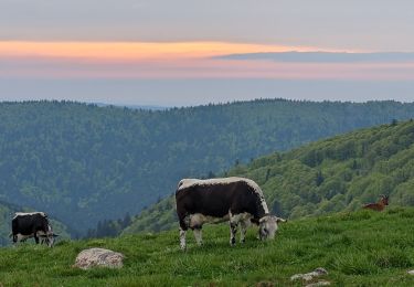
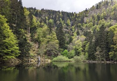
Trail Walking Linthal - 2018 08 02 Remspach - FA Hilsen - Photo

2018 08 02 Remspach - FA Hilsen

 E.BURCK
E.BURCK

User

© OpenStreetMap contributors
Length
Length
10.4 km
Max alt
Max alt
1154 m
Uphill gradient
Uphill gradient
386 m
Km-Effort
Km-Effort  
15.5 km
Min alt
Min alt
835 m
Downhill gradient
Downhill gradient
383 m
Boucle
Boucle
Yes
Creation date :
2019-05-22 16:12:03.282
Updated on :
2019-05-22 16:12:03.318

(0 Reviews)

Walking
Walking
--
Difficulty : Medium

Scan this QR Code to open this trail in the SityTrail application

FREE GPS app for hiking

Logo SityTrail SityTrail

IGN / Geographical institutes

Download SityTrail from the App Store Download SityTrail from Google Play

Logo SityTrail SityTrail World

The world is yours!

Download SityTrail from the App Store Download SityTrail from Google Play Download SityTrail on Huawei AppGallery

About

Trail Walking of 10.4 km to be discovered at Grand Est, Haut-Rhin, Linthal. This trail is proposed by E.BURCK.

Description

Le retour est rapide et le dénivelé est de 380 m sur 10.5 km                                       J'attends vos réponses avant mardi 12 heures pour réserver l'auberge.                                                 Amicalement.                        Jean-Jacques.                    ACCÈS :             -Guebwiller, Lautenbach, Linthal ,              -à Linthal, au monument, prendre à droite, puis 300m plus loin à gauche  direction Remspach,             - ensuite avant l'entrée de Remspach, prendre l'épingle à droite qui va  vers la colonie de vacances PTT.            PARKING :             - après le virage à gauche, laisser le chemin qui va vers la colonie de vacances à votre gauche et continuer tout droit.             - puis à 200m, il y a sur la gauche du chemin un emplacement pour se garer.            47.9534, 7.1069  ou  N 47°57'12", E 07°06'25"            Attention, dans  un premier temps, dans Linthal il vaut mieux suivre mes indications et le plan ci-joint; le GPS risque de vous faire faire un détour.            HEURE DE RENDEZ VOUS :                              9h30                                   RESTAURATION :                          Ferme Auberge du Hilsen.                                Tél: 03 89 74 03 15

Elevation profile

Positioning

Country:
France
Region :
Grand Est
Department/Province :
Haut-Rhin
Municipality :
Linthal
Location:
Unknown
Start:(Dec)
Start:(UTM)
358717 ; 5312765 (32T) N.

Trails nearby

Trail Walking Lautenbach - Tour du Petit Ballon - Photo
Walking
VacheKiri67

Walking

Medium
(1)
Lautenbach, Grand Est, Haut-Rhin, France
12.7 km | 20 km-effort
4h 46min
Yes
Trail Walking Linthal - Markstein - Photo
Walking
VacheKiri67

Walking

Medium
(1)
Linthal, Grand Est, Haut-Rhin, France
14 km | 19.8 km-effort
4h 45min
Yes
Trail Walking Linthal - Tour de la grande Vallée de Munster (refuge du Hilsen - Munster) - Photo
Walking
tracegps

Walking

Difficult
(1)
Linthal, Grand Est, Haut-Rhin, France
18.1 km | 24 km-effort
5h 0min
No
Trail Walking Lautenbachzell - Le Markstein - Photo
Walking
tracegps

Walking

Difficult
(1)
Lautenbachzell, Grand Est, Haut-Rhin, France
22 km | 35 km-effort
6h 0min
Yes
Trail Walking Sondernach - 2023-05-19 WE Marche Bivouac Massif du Hohneck - Photo
Walking
GUIDE
holtzv

Walking

Medium
Sondernach, Grand Est, Haut-Rhin, France
46 km | 73 km-effort
16h 41min
Yes
Trail Walking Sondernach - 2023-05-19 Marche Schnepfenried vers Lac du Fischboedle - Photo
Walking
GUIDE
holtzv

Walking

Easy
Sondernach, Grand Est, Haut-Rhin, France
9.1 km | 14.1 km-effort
3h 12min
No
Trail Walking Linthal - SityTrail - Remspach-Hilsen - Photo
Walking

Walking

Medium
(1)
Linthal, Grand Est, Haut-Rhin, France
9.9 km | 14.6 km-effort
3h 3min
Yes
Trail On foot Wasserbourg - Boenlesgrab - Drei Schöpf - Bannwald - Chalet St Hubert - Brunnemaëttlé - Wassmatt - Hansen et retour - Photo
On foot
patrickbeyrath

On foot

Medium
(1)
Wasserbourg, Grand Est, Haut-Rhin, France
10.2 km | 14.2 km-effort
Unknown
Yes
Trail Walking Wasserbourg - SityTrail - Boenlesgrab- Strohberg - Photo
Walking

Walking

Difficult
(1)
Wasserbourg, Grand Est, Haut-Rhin, France
9.6 km | 15.1 km-effort
3h 0min
Yes


Close
My subscriptions