


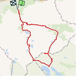


16.2 km | 31 km-effort

User


FREE GPS app for hiking
 SityTrail
IGN / Geographical institutes
SityTrail World
The world is yours!
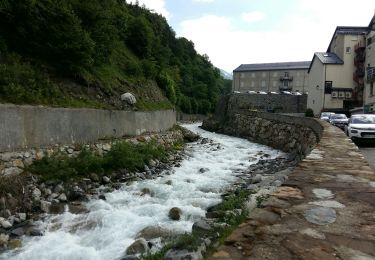
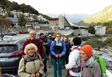
Trail Walking of 21 km to be discovered at Occitania, Hautespyrenees, Barèges. This trail is proposed by chasle.
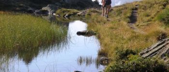
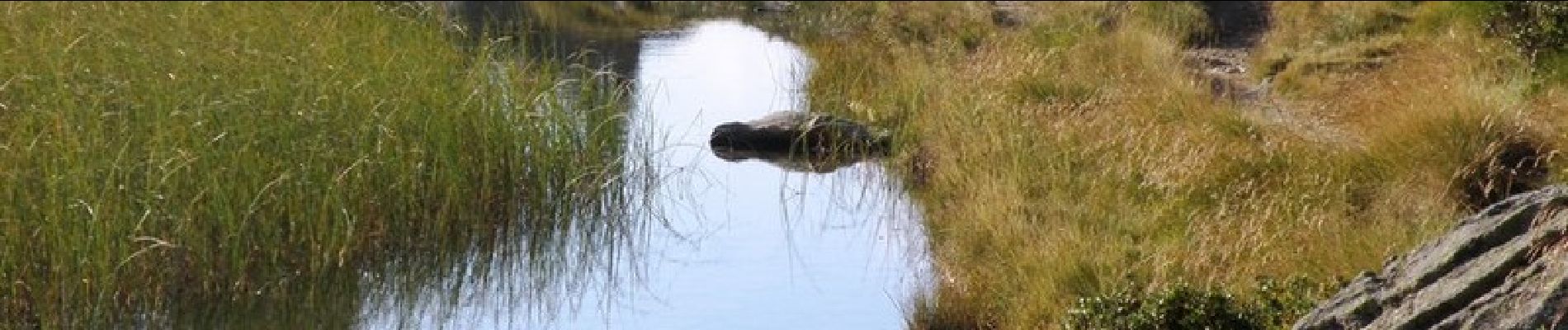
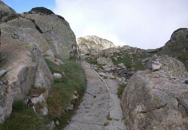
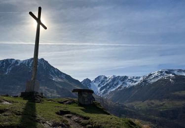
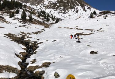
Long circuit dans la région des lacs autour du Pic de Madamète dans la région du Néouvielle. L'ascension du Pic de Madamète (150m de montée) est facultative mais offre un panorama superbe. Le circuit : jardin botanique de Barèges - cabane d'Aygues Cluses - Lacs de Madamète - Laquet de Madamète - Col de Madamète - Pic de Madamète 2657m (facultatif) - Gourg de Rabas - Lac d'Aumar - Lac d'Aubert - Hourquette d'Aubert - Lac Estagnol - Lac Nére - Lac de Tracens - Lac Blanc - Lac de la Jonquère - Lac des Coubous - jardin botanique de Barèges.


Walking

Walking

Walking
Walking

Walking
Walking
Horseback riding
Walking
Walking