


9 km | 10.4 km-effort

User


FREE GPS app for hiking
 SityTrail
IGN / Geographical institutes
SityTrail World
The world is yours!
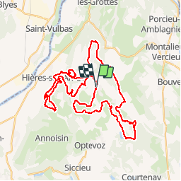
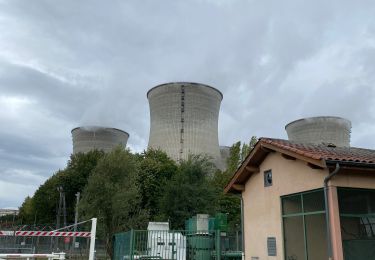
Trail Mountain bike of 46 km to be discovered at Auvergne-Rhône-Alpes, Isère, Saint-Baudille-de-la-Tour. This trail is proposed by tracegps.
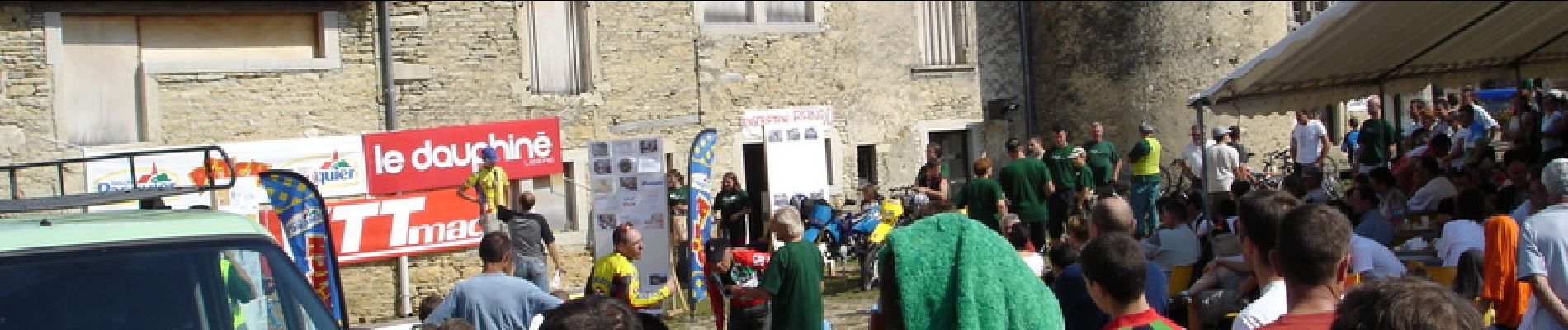
Trace de l'édition 2007 (10eme année) de la rando VTT Nord Isère du 23 septembre 2007. Circuit physique, poussage long et pénible à Cote de Bourcieux, très beau panorama ! Le site de l'épreuve.

Walking
Walking
Walking
Mountain bike
Mountain bike
Walking
Walking
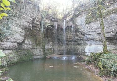
Walking
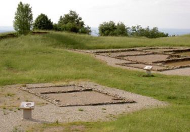
Walking