


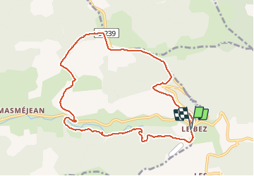

13.6 km | 18.2 km-effort


User


FREE GPS app for hiking
 SityTrail
IGN / Geographical institutes
SityTrail World
The world is yours!
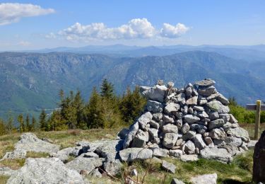
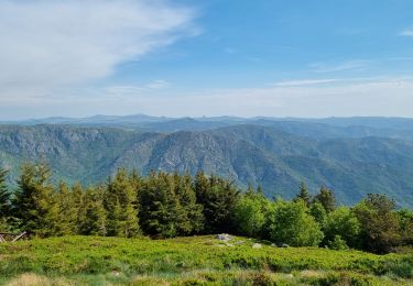
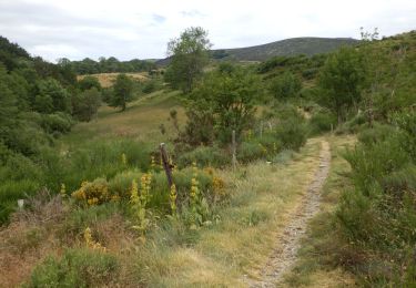
Trail Via ferrata of 10.5 km to be discovered at Auvergne-Rhône-Alpes, Ardèche, Saint-Étienne-de-Lugdarès. This trail is proposed by Ptitjack30.
col du pendu Masméjean

Walking
On foot
Walking
Walking
Walking
Walking
On foot

Walking

Mountain bike