


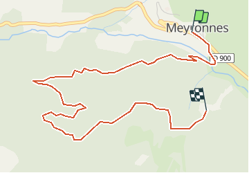

10.4 km | 15.4 km-effort

User


FREE GPS app for hiking
 SityTrail
IGN / Geographical institutes
SityTrail World
The world is yours!
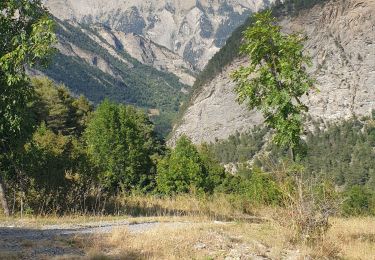
Trail Mountain bike of 5.8 km to be discovered at Provence-Alpes-Côte d'Azur, Alpes-de-Haute-Provence, Val-d'Oronaye. This trail is proposed by tracegps.
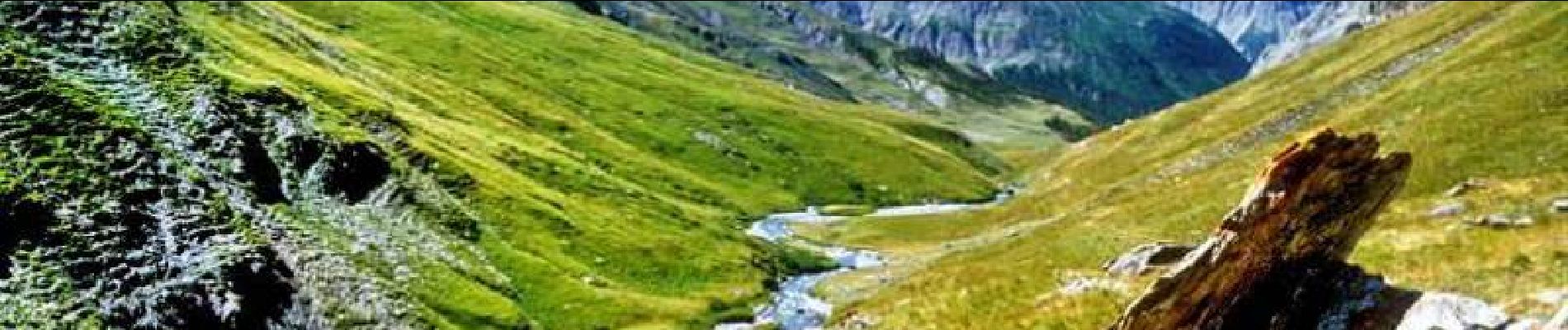
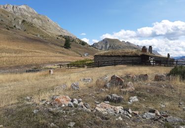
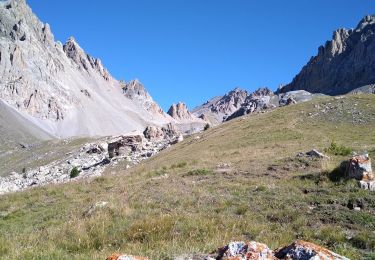
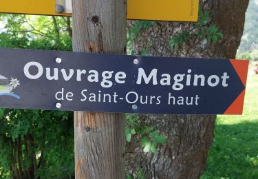
Espace VTT FFC Vallée de l’Ubaye Circuit officiel labellisé par la Fédération Française de Cyclisme. La Vallée de l'Ubaye vous propose plus de 300 Km d'itinéraires balisés et labellisés. De la promenade en famille ou entre amis, jusqu'au raid de plusieurs jours, découvrez ces 19 itinéraires en téléchargeant le Plan général des circuits. A 1900 m d'altitude, sur un surplomb dominant la route du Col de Larche et face à St ours bas, le Maginot de Roche la Croix laisse apparaitre son bloc d'artillerie unique. Il s'agit du plus imposant de la Vallée. Sa tourelle a éclipse, armée de 2 canons de 75 mm, surnommée la "méchante" par les troupes italiennes, a su contenir les assauts ennemis de la dernière grande guerre. Crédit photos Vallouimages

Walking

Walking
Walking

Walking
Walking
Walking
Walking
Walking
Walking