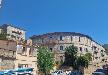
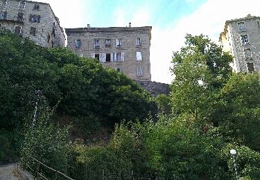
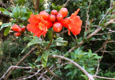
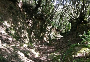
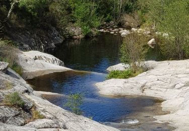
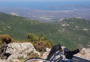
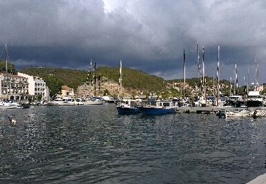
Trail Cycle Sartène - Ajaccio --> Bonifacio - Etape 5 - Photo

Ajaccio --> Bonifacio - Etape 5

 tracegps
tracegps

User

© OpenStreetMap contributors
Length
Length
51 km
Max alt
Max alt
321 m
Uphill gradient
Uphill gradient
759 m
Km-Effort
Km-Effort  
62 km
Min alt
Min alt
-1 m
Downhill gradient
Downhill gradient
1014 m
Boucle
Boucle
No
Creation date :
2014-12-10 00:00:00.0
Updated on :
2014-12-10 00:00:00.0

(0 Reviews)

Cycle
Cycle
7h00
Difficulty : Difficult

Scan this QR Code to open this trail in the SityTrail application

FREE GPS app for hiking

Logo SityTrail SityTrail

IGN / Geographical institutes

Download SityTrail from the App Store Download SityTrail from Google Play

Logo SityTrail SityTrail World

The world is yours!

Download SityTrail from the App Store Download SityTrail from Google Play Download SityTrail on Huawei AppGallery

About

Trail Cycle of 51 km to be discovered at Corsica, South Corsica, Sartène. This trail is proposed by tracegps.

Description

** Etape 5 - Sartène --> Bonifacio ** Longueur cartographique = 51,526 Km Circuit de 158Km utilisant dans la mesure du possible des voies secondaires carrossables dans des paysages côtiers et montagneux superbes. Les 5 étapes sont à titre indicatifs et sont modulables en fonction du physique et des hébergements. Les autres étapes : ** Etape 1 - Ajaccio --> Portigliolo ** Longueur cartographique = 33,288 Km ** Etape 2 - Portigliolo --> Serra-di-Ferro ** Longueur cartographique = 23,259 Km ** Etape 3 - Serra-di-Ferro --> Propriano ** Longueur cartographique = 20,094 Km ** Etape 4 - Propriano --> Sartène ** Longueur cartographique = 30,199 Km

Elevation profile

Positioning

Country:
France
Region :
Corsica
Department/Province :
South Corsica
Municipality :
Sartène
Location:
Unknown
Start:(Dec)
Start:(UTM)
497691 ; 4607700 (32T) N.

Trails nearby

Trail Walking Sartène - Visite découverte de Sartène - Photo
Walking
chessyca

Walking

Very easy
Sartène, Corsica, South Corsica, France
3.8 km | 5 km-effort
1h 1min
No
Trail Walking Sartène - sardene - Photo
Walking
wimpy

Walking

Very easy
Sartène, Corsica, South Corsica, France
5.9 km | 8.7 km-effort
1h 59min
No
Trail Walking Sartène - sardene - Photo
Walking
wimpy

Walking

Very easy
(2)
Sartène, Corsica, South Corsica, France
5.9 km | 8.7 km-effort
1h 59min
No
Trail Trail Sartène - Rizzanese  - Photo
Trail
Jenniams

Trail

Easy
Sartène, Corsica, South Corsica, France
8.8 km | 10.2 km-effort
1h 10min
No
Trail Walking Sartène - 20210617 autour de notre maison d’hôtes  - Photo
Walking
ThonyM

Walking

Easy
Sartène, Corsica, South Corsica, France
1.4 km | 2.1 km-effort
33min
Yes
Trail Walking Sartène - 27 mai 21 - Photo
Walking
habby

Walking

Very easy
Sartène, Corsica, South Corsica, France
4.3 km | 7.1 km-effort
1h 42min
Yes
Trail Moto cross Foce - de Fozzano à Ste Lucie de Tallano - Photo
Moto cross
ugolin

Moto cross

Very difficult
Foce, Corsica, South Corsica, France
78 km | 110 km-effort
6h 51min
Yes
Trail Moto cross Foce - de l'Ortolo a l'Ospedale - Photo
Moto cross
ugolin

Moto cross

Very easy
Foce, Corsica, South Corsica, France
74 km | 102 km-effort
5h 59min
Yes
Trail Motor Sartène - sartene 2 porto vecchio - Photo
Motor
wimpy

Motor

Easy
(2)
Sartène, Corsica, South Corsica, France
98 km | 118 km-effort
4h 2min
No


Close
My subscriptions