


10 km | 14.1 km-effort


User


FREE GPS app for hiking
 SityTrail
IGN / Geographical institutes
SityTrail World
The world is yours!
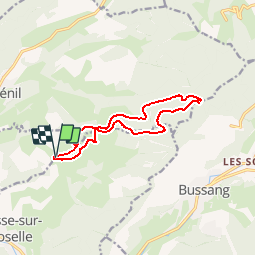
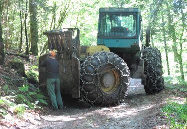
Trail Walking of 11.6 km to be discovered at Grand Est, Vosges, Fresse-sur-Moselle. This trail is proposed by marcel.F.
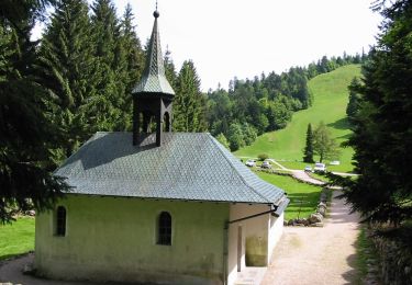
Boucle au départ de la chapelle des Vés (près de Fresse sur Moselle)
Walking

Snowshoes

Mountain bike

Mountain bike
Walking
On foot

On foot
On foot
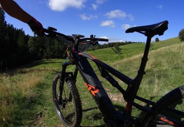
Mountain bike