


 en toute saison - Photo 21")
 en toute saison - Photo 22")
 en toute saison - Photo 23")
 en toute saison - Photo 24")
 en toute saison - Photo 25")
 en toute saison - Photo 26")
 en toute saison - Photo 27")
 en toute saison - Photo 28")
 en toute saison - Photo 29")
 en toute saison - Photo 30")
 en toute saison - Photo 31")
 en toute saison - Photo 32")
 en toute saison - Photo 33")
 en toute saison - Photo 34")
 en toute saison - Photo 35")
 en toute saison - Photo 36")
 en toute saison - Photo 37")
 en toute saison - Photo 38")
 en toute saison - Photo 39")
 en toute saison - Photo 40")
 en toute saison - Photo 41")
 en toute saison - Photo 42")
 en toute saison - Photo 43")
 en toute saison - Photo 44")
 en toute saison - Photo 45")
 en toute saison - Photo 46")
 en toute saison - Photo 47")
 en toute saison - Photo 48")
 en toute saison - Photo 49")
 en toute saison - Photo 50")
 en toute saison - Photo 51")
 en toute saison - Photo 52")
 en toute saison - Photo 53")
 en toute saison - Photo 54")


17.5 km | 21 km-effort

forêts de France


FREE GPS app for hiking
 SityTrail
IGN / Geographical institutes
SityTrail World
The world is yours!
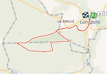
Trail Walking of 9 km to be discovered at Hauts-de-France, Aisne, Longpont. This trail is proposed by en forêt de Retz.
voir aussi mon blog: http://foret-de-retz.over-blog.com/
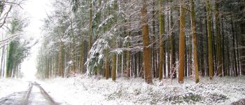
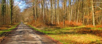
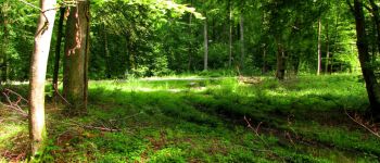
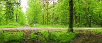
objectifs: faire des ballades quotidiennes, très faciles (8-9km) à partir de Longpont, sans la boue, l'eau et les ronces d'une part et en toute saison. D'autre part pour maintenir la condition physique hors rando. Des variantes sont possibles.
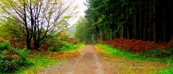
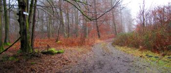
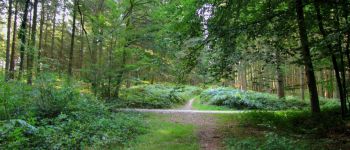
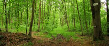
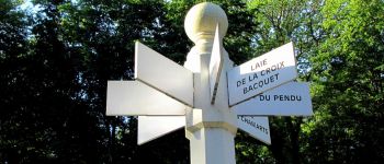
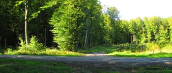
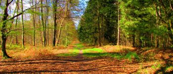
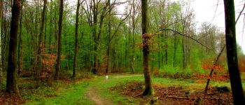
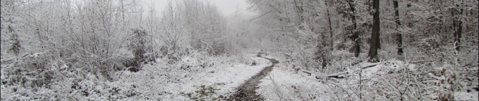
photos des carrefours pour chaque saison.
08/ 2018
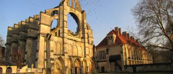
au Départ de l'abbaye de Longpont, rejoindre le GR11A aux "trois maisons". Le suivre jusqu'au chemin de Longpont, tourner à gauche dans ce chemin et le suivre jusqu'au carrefour de la Croix Bacquet. Tourner à gauche dans la Route du Faîte et continuer jusqu'au carrefour des Soupirs. Tourner à gauche dans la laie des Grands Charmes et continuer jusqu'au carrefour de la Tartarine. Prendre à droite la Route du Pendu et la suivre jusqu'au carrefour du Pendu. Tourner à gauche dans la laie de la Croix Pain Tendre puis récupérer le chemin de Longpont à droite et le GR11A pour revenir au point de départ.
 en toute saison - Photo 1")
 en toute saison - Photo 2")
 en toute saison - Photo 3")
 en toute saison - Photo 4")
 en toute saison - Photo 5")
 en toute saison - Photo 6")
 en toute saison - Photo 7")
 en toute saison - Photo 8")
 en toute saison - Photo 9")
 en toute saison - Photo 10")
 en toute saison - Photo 11")
 en toute saison - Photo 12")
 en toute saison - Photo 13")
 en toute saison - Photo 14")
 en toute saison - Photo 15")
 en toute saison - Photo 16")
 en toute saison - Photo 17")
 en toute saison - Photo 18")
 en toute saison - Photo 19")
 en toute saison - Photo 20")
54 photos in total. Please click on a photo to see them all in the gallery.

Walking

Walking

Walking

On foot

On foot

Walking

Walking

Walking

Walking