


10.1 km | 13.5 km-effort


User


FREE GPS app for hiking
 SityTrail
IGN / Geographical institutes
SityTrail World
The world is yours!
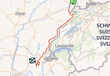
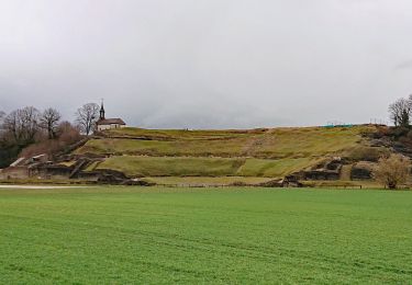
Trail Walking of 341 km to be discovered at Bourgogne-Franche-Comté, Doubs, Mandeure. This trail is proposed by tracegps.
De Mandeure, près de Montbéliard dans le Doubs jusqu'à Hauteville-Lompnes dans l'Ain, en traversant le Jura et le Parc naturel régional du Haut Jura, c'est une belle échappée à la découverte des Montagnes du Jura, au cœur d'une nature riche et préservée. Le kilométrage total de l'itinéraire est de 380 kilomètres. Praticable de mai à octobre (selon l'enneigement), la GTJ mène les randonneurs à VTT de crêtes en vals entre 300 et 1500 m d'altitude. Première traversée VTT créée en France, elle est labellisée "Grande Traversée VTT" par la Fédération Française de Cyclisme. ( Voir aussi le circuit 1552 , note de TraceGps)
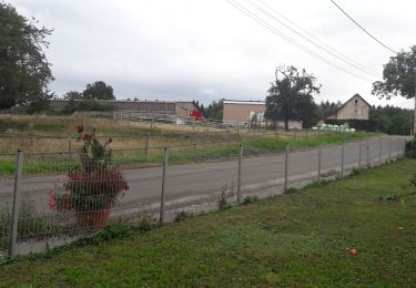
Walking
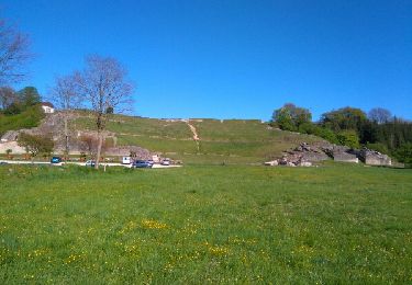
Walking

Walking
Walking
Walking
Other activity
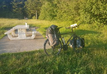
Bicycle tourism
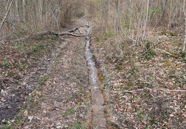
Walking
Walking