


7.3 km | 12 km-effort


User


FREE GPS app for hiking
 SityTrail
IGN / Geographical institutes
SityTrail World
The world is yours!
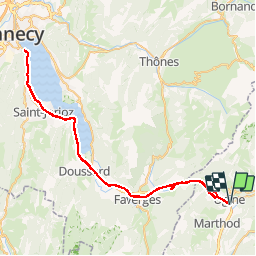
Trail Running of 142 km to be discovered at Auvergne-Rhône-Alpes, Savoy, Ugine. This trail is proposed by tracegps.
Parcours tranquille à cheval sur 2 départements, la Savoie et la haute-Savoie. Pour cela, on utilise une piste cyclable réhabilitant une ancienne voie ferrée. Il n'y a donc pas (sauf au tout départ d'Ugine) de dénivelé. Au niveau de Duingt, un tunnel est emprunté. Au bord du lac, de nombreuses plages vous permettront de "piquer une petite tête".
Walking
Walking

Walking
Walking
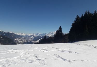
Snowshoes
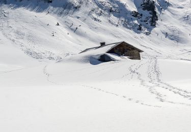
Snowshoes
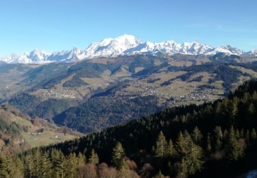
Walking
Walking

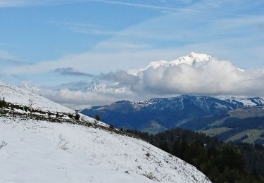
Snowshoes