


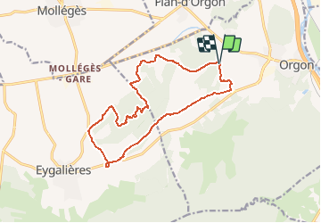


236 km | 285 km-effort

User


FREE GPS app for hiking
 SityTrail
IGN / Geographical institutes
SityTrail World
The world is yours!
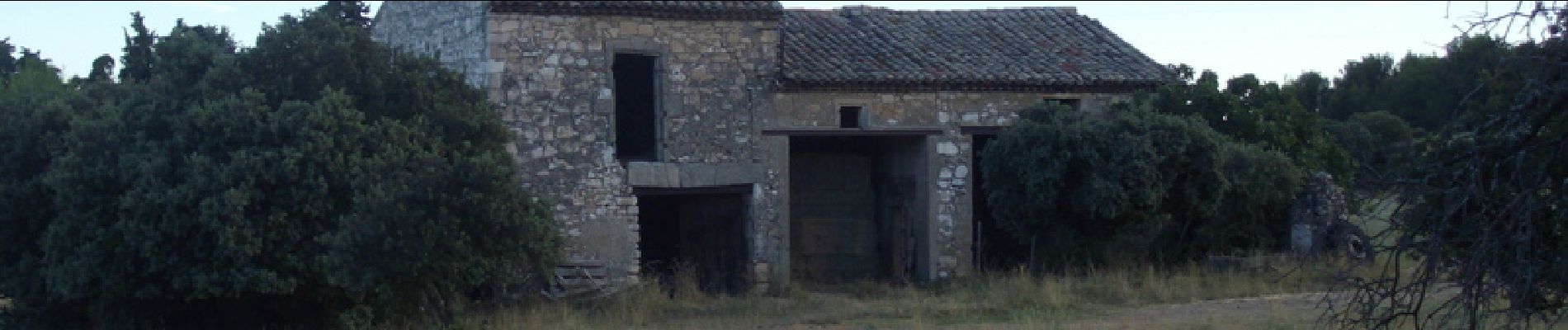
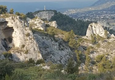
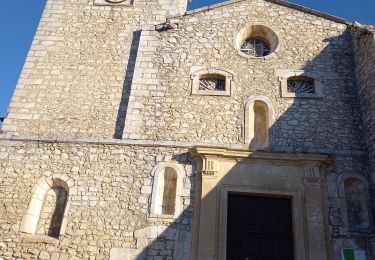
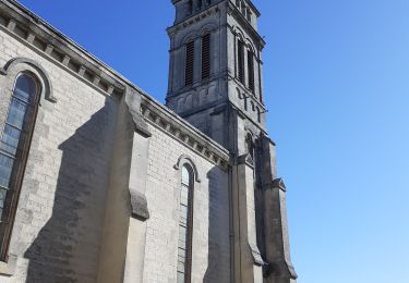
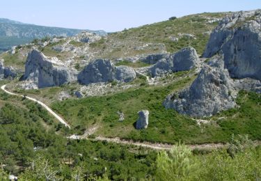
Trail Mountain bike of 15.7 km to be discovered at Provence-Alpes-Côte d'Azur, Bouches-du-Rhône, Orgon. This trail is proposed by tracegps.
Parcours assez facile prés des Alpilles au beau milieu de la Provence (superbe). Le parcours convient à des enfants à partir de 10/12 ans


Cycle

Cycle

Cycle

Walking
Walking

Walking
Walking
Walking
On foot