


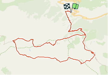

12 km | 20 km-effort


User


FREE GPS app for hiking
 SityTrail
IGN / Geographical institutes
SityTrail World
The world is yours!
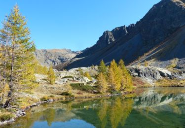
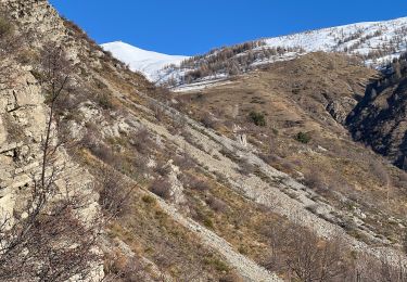
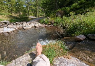
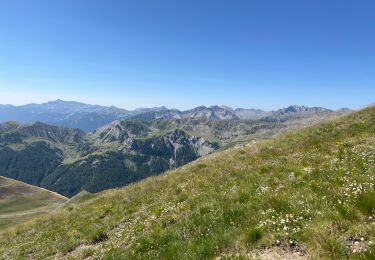
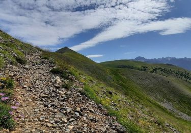
Trail Walking of 16.5 km to be discovered at Provence-Alpes-Côte d'Azur, Maritime Alps, Saint-Dalmas-le-Selvage. This trail is proposed by GrouGary.
Circuit tranquille sur les alpages, aux sons des cloches et odeurs des chèvres, moutons. Une envie d'y retourner en hiver, raquettes aux pieds
On foot
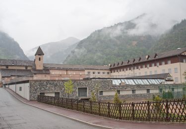
On foot
On foot
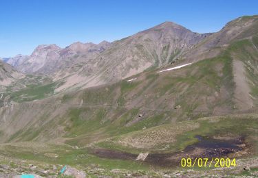
Walking
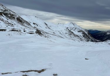
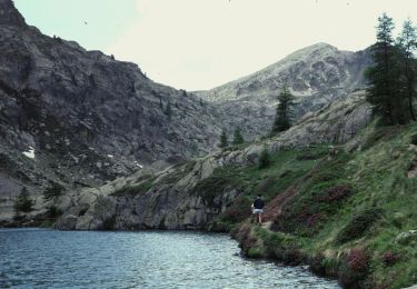
Snowshoes
Snowshoes
Walking
Walking
Walking