


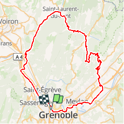

11.8 km | 13 km-effort


User


FREE GPS app for hiking
 SityTrail
IGN / Geographical institutes
SityTrail World
The world is yours!
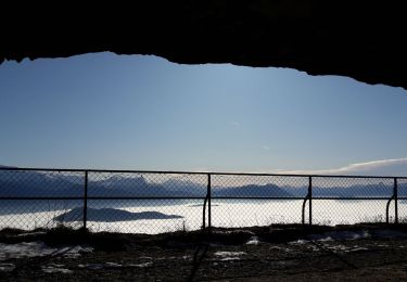
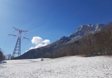
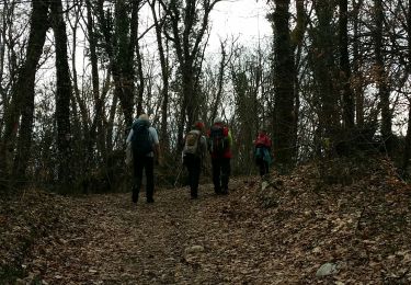
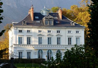
Trail Cycle of 86 km to be discovered at Auvergne-Rhône-Alpes, Isère, Grenoble. This trail is proposed by tracegps.
Boucle en VH au depart de Grenoble: col de la placette, St laurent du pont, St Hugues, col du coq, bords de l"Isère
Nordic walking
Nordic walking
Walking
Walking
Mountain bike
Walking

Running

Mountain bike
On foot