


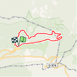


18.8 km | 25 km-effort

User


FREE GPS app for hiking
 SityTrail
IGN / Geographical institutes
SityTrail World
The world is yours!
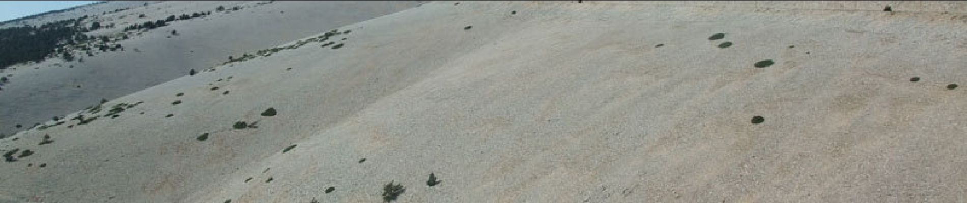
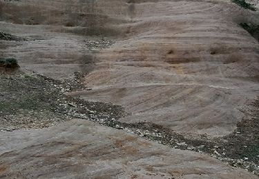
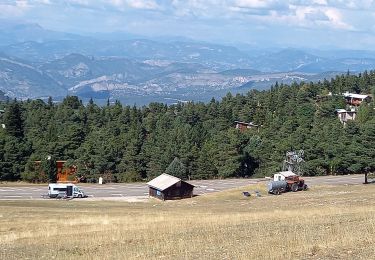
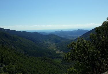
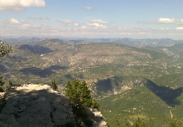
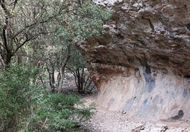
Trail Walking of 6.3 km to be discovered at Provence-Alpes-Côte d'Azur, Vaucluse, Beaumont-du-Ventoux. This trail is proposed by tracegps.
Sentier de découverte et pédagogique dans la réserve de biosphère intégrée du Mont Serein agrée par l’UNESCO. Départ à la bergerie de l’Avocat tout près du Mont Serein et du Mont Ventoux.


Walking

Walking
Walking
Walking
Walking

Walking

Walking
Walking
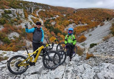
Mountain bike