Trail Mountain bike Rombas -  Autour de la vallée de Montvaux - Rombas - Photo

Autour de la vallée de Montvaux - Rombas

 tracegps
tracegps

User

© OpenStreetMap contributors
Length
Length
45 km
Max alt
Max alt
378 m
Uphill gradient
Uphill gradient
662 m
Km-Effort
Km-Effort  
54 km
Min alt
Min alt
236 m
Downhill gradient
Downhill gradient
680 m
Boucle
Boucle
Yes
Creation date :
2014-12-10 00:00:00.0
Updated on :
2014-12-10 00:00:00.0

(0 Reviews)

Mountain bike
Mountain bike
3h00
Difficulty : Difficult

Scan this QR Code to open this trail in the SityTrail application

FREE GPS app for hiking

Logo SityTrail SityTrail

IGN / Geographical institutes

Download SityTrail from the App Store Download SityTrail from Google Play

Logo SityTrail SityTrail World

The world is yours!

Download SityTrail from the App Store Download SityTrail from Google Play Download SityTrail on Huawei AppGallery

About

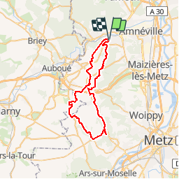
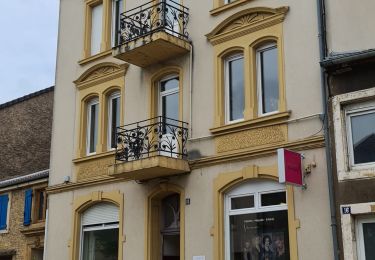
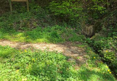
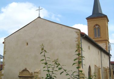
Trail Mountain bike of 45 km to be discovered at Grand Est, Moselle, Rombas. This trail is proposed by tracegps.

Description

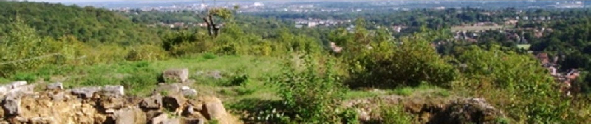
Au départ du Fond St Martin à Rombas vous traverserez forêts et champs jusqu'au site archéologique de Châtel St Germain pour revenir par Verneville, St privas la montagne, Roncourt et enfin Rombas. Circuit très physique de par la nature des chemins à travers champs qui usent les cuisses......beau point de vue sur la vallée de la Moselle au niveau du site archéologique.

Elevation profile

Photos

Positioning

Country:
France
Region :
Grand Est
Department/Province :
Moselle
Municipality :
Rombas
Location:
Unknown
Start:(UTM)
287507 ; 5459173 (32U) N.

Trails nearby

Trail Mountain bike Rombas - Le petit huit en forêt entre Clouange, Ranguevaux et Fameck - Photo
Mountain bike
tracegps

Mountain bike

Medium
(2)
Rombas, Grand Est, Moselle, France
29 km | 38 km-effort
1h 30min
Yes
Trail On foot Marange-Silvange - Circuit de la Croix David - Photo
On foot
PRO

On foot

Easy
Marange-Silvange, Grand Est, Moselle, France
3.8 km | 5.3 km-effort
1h 12min
No
Trail On foot Rombas - Circuit de Rombas - Photo
On foot
PRO

On foot

Easy
Rombas, Grand Est, Moselle, France
7.8 km | 10.5 km-effort
2h 23min
Yes
Trail Walking Rombas - ROMBAS - ROMBAS ET LA CÔTE DE DRINCE - Photo
Walking
jean-marie.parachini

Walking

Difficult
Rombas, Grand Est, Moselle, France
18.6 km | 27 km-effort
9h 59min
Yes
Trail Walking Rombas - Rombas Etang de Rombas et Côte de Drince - Photo
Walking
jean-marie.parachini

Walking

Difficult
Rombas, Grand Est, Moselle, France
17.8 km | 26 km-effort
10h 10min
Yes
Trail Walking Rombas - Rombas Tour de Drince - Photo
Walking
patrick57

Walking

Very easy
(1)
Rombas, Grand Est, Moselle, France
10 km | 14.4 km-effort
3h 0min
Yes
Trail Walking Moyeuvre-Grande - ferme du tremon - Photo
Walking
Cathy del vecchio

Walking

Very difficult
Moyeuvre-Grande, Grand Est, Moselle, France
15.4 km | 19.3 km-effort
4h 26min
Yes
Trail On foot Pierrevillers - Approche d'un Sentier de GR - Photo
On foot
PRO

On foot

Easy
Pierrevillers, Grand Est, Moselle, France
3.4 km | 5 km-effort
1h 8min
No
Trail On foot Rombas - Circuit de la Côte de Drince - Photo
On foot
PRO

On foot

Easy
Rombas, Grand Est, Moselle, France
5.7 km | 8.6 km-effort
1h 57min
No


Close
My subscriptions