


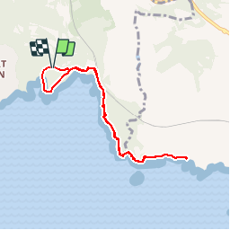

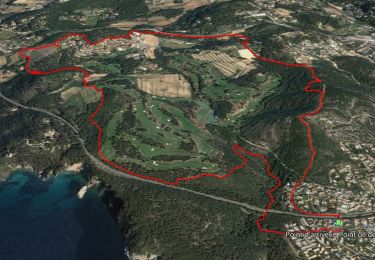
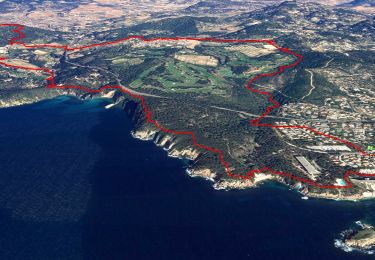
8.7 km | 11.4 km-effort

User


FREE GPS app for hiking
 SityTrail
IGN / Geographical institutes
SityTrail World
The world is yours!
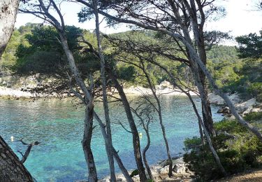
Trail Walking of 7.7 km to be discovered at Provence-Alpes-Côte d'Azur, Var, Saint-Cyr-sur-Mer. This trail is proposed by tracegps.
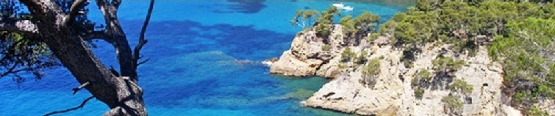
Très belle randonnée de niveau 3. Vous pourrez vous garer au point de départ (payant en juillet et aout). Vous marcherez sur le chemin du littoral balisé en jaune. Ce chemin est ombragé et suit la cote. Il est parfois pierreux et certaines parties sont en escalier. Vous pourrez profiter de magnifiques points de vue sur la mer et pourquoi pas profiter des plages pour vous baigner. Retrouvez d’autres informations sur le site de Rando Loisirs à Carnoux en Provence.

Walking
Walking

Walking

Walking

Walking
On foot

Walking

Walking

Walking
tres beau parcours facile niveau 2