


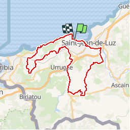


18.8 km | 27 km-effort

User


FREE GPS app for hiking
 SityTrail
IGN / Geographical institutes
SityTrail World
The world is yours!
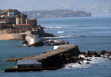
Trail Mountain bike of 36 km to be discovered at New Aquitaine, Pyrénées-Atlantiques, Ciboure. This trail is proposed by tracegps.
Départ de Ciboure en longeant la baie sur route D912 puis le long de la Nivelle, suivre le tracé. Bonne ballade Michel


Walking

Walking

Mountain bike
Mountain bike
Walking
Walking
Walking
Walking
Walking