


13.8 km | 16.7 km-effort

User


FREE GPS app for hiking
 SityTrail
IGN / Geographical institutes
SityTrail World
The world is yours!
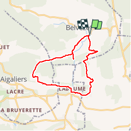
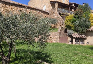
Trail Walking of 13.6 km to be discovered at Occitania, Gard, Belvézet. This trail is proposed by tracegps.
Circuit facile, au départ du Mas de l'ancienne Église à Belvezet (30580). Le parcours est fléché tout le long, et est répertorié dans le topo guide de la FFRP. La différence avec le parcours du topo guide est la traversée du gué que nous n'avons pas pu emprunter ce jour-là.


Walking
Walking
Walking

Other activity

Walking
Walking

Walking
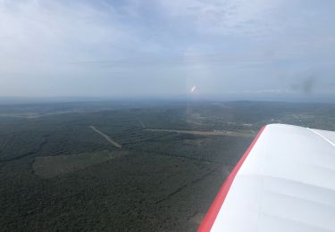
Plane