


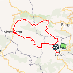

8.4 km | 11.8 km-effort


User


FREE GPS app for hiking
 SityTrail
IGN / Geographical institutes
SityTrail World
The world is yours!
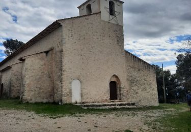
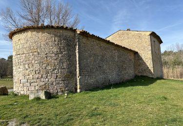
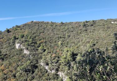
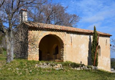
Trail Walking of 21 km to be discovered at Provence-Alpes-Côte d'Azur, Var, Callas. This trail is proposed by GSananes.
reconnu le 2 octobre 2018 belle rando environ 20 km et demi 850 m

Walking
Walking
Walking
Walking

sport
Walking
Walking
Walking
Walking