


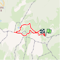


14 km | 25 km-effort

User


FREE GPS app for hiking
 SityTrail
IGN / Geographical institutes
SityTrail World
The world is yours!
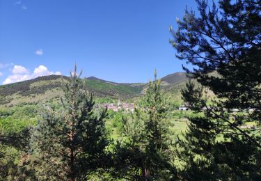
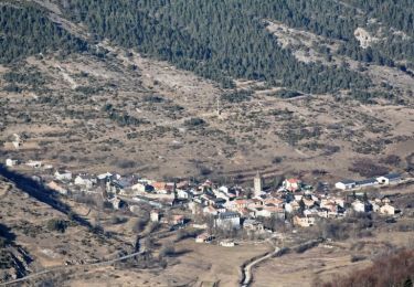
Trail Walking of 12.7 km to be discovered at Occitania, Ariège, Montségur. This trail is proposed by tracegps.
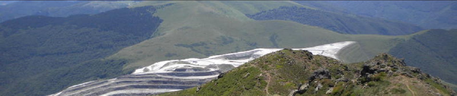
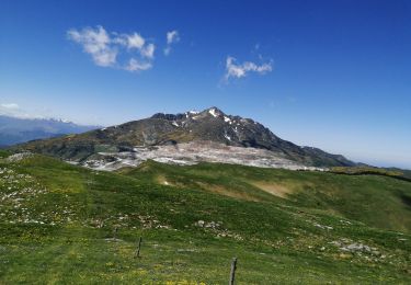
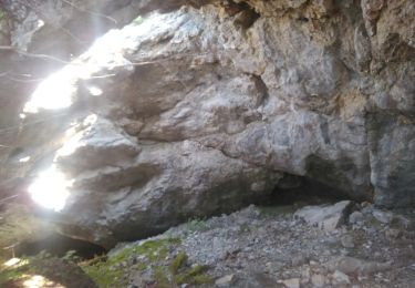
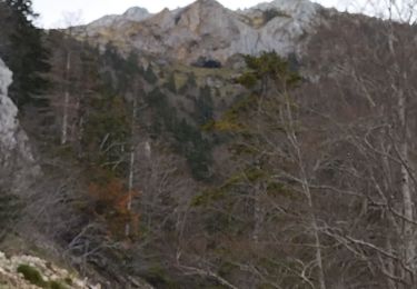
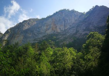
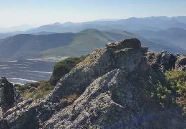
Prendre la piste forestière de Comus aux gorges de la Frau. A l'entrée de la gorge prendre la piste carrossable à gauche sur 2km. Terminus. Suivez les indications GPS au départ: piste peu marquée côté Nord, passage d'une fenêtre avec câble (sans danger ni vertige), grimpe sérieuse le long des étangs de la Truite, du Diable et Supérieur. Passage d'un névé en début de saison. Passage aérien sans difficulté au Pic Soularac mais rester très attentif, ce pic n'est pas facile.


Walking

Walking
Other activity
Walking
Walking
Walking
Mountain bike
wahou la rando. 4h de montée pour 3h de descente.30mn de repas. descente dcenfer