


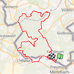

12.2 km | 16.2 km-effort

User


FREE GPS app for hiking
 SityTrail
IGN / Geographical institutes
SityTrail World
The world is yours!
Trail Mountain bike of 49 km to be discovered at Grand Est, Moselle, Freyming-Merlebach. This trail is proposed by tracegps.
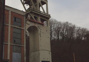
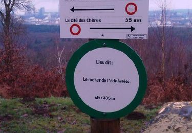
Circuit réalisé pendant la randonnée de Freyming Merlebach , départ le long de la carrière, puis le reste du circuit dans la forêt du Warndt en Allemagne. Circuit assez technique avec deux montées très raides, avis au amateurs.

On foot
Walking
On foot

Walking
Walking

On foot
On foot

Mountain bike
On foot