


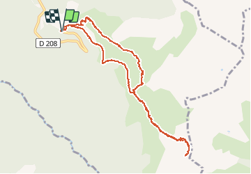

12 km | 26 km-effort


User


FREE GPS app for hiking
 SityTrail
IGN / Geographical institutes
SityTrail World
The world is yours!
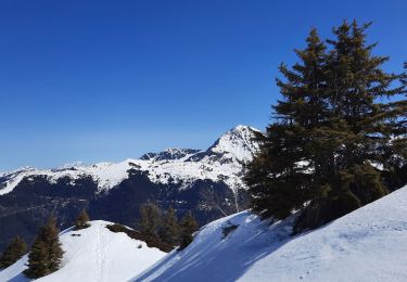
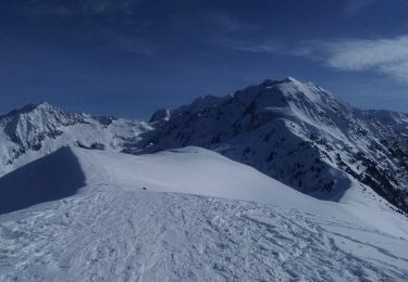
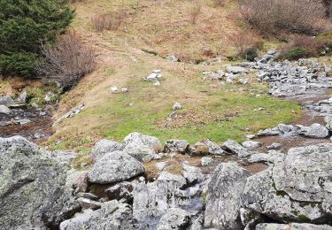
Trail Walking of 11.3 km to be discovered at Auvergne-Rhône-Alpes, Savoy, Arvillard. This trail is proposed by 429934.
départ valpelouse suivre sentier jusqu'au refuge perriere puis poursuivre vers col de freche. retour même chemin.


Walking

Walking

Mountain bike
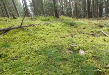
Walking
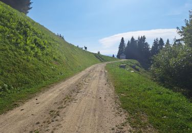
Walking
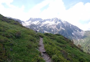
Walking
Walking
Touring skiing
Walking