


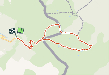

5.4 km | 8.8 km-effort


User


FREE GPS app for hiking
 SityTrail
IGN / Geographical institutes
SityTrail World
The world is yours!
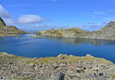
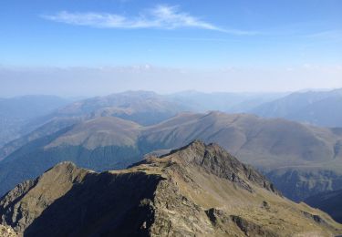
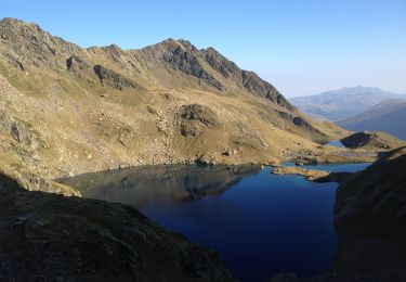
Trail Walking of 10.6 km to be discovered at Occitania, Haute-Garonne, Bagnères-de-Luchon. This trail is proposed by tracegps.
Randonnée un peu plus longue mais plus spectaculaire que l'itinéraire balisé. Dén: 1000m

Walking

Walking
Walking
Walking
Walking
On foot
On foot
On foot
On foot
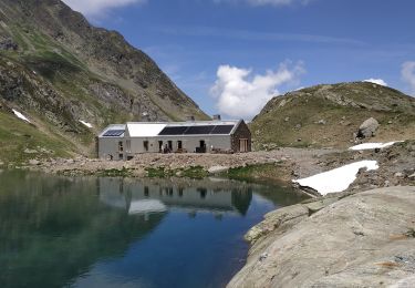
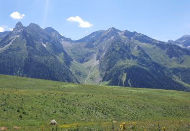
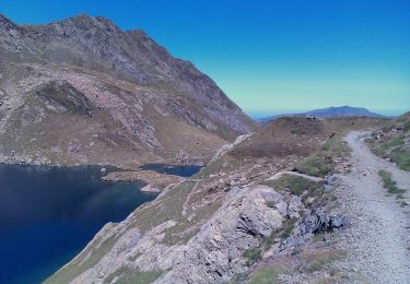
Ballade vraiment sympa !