


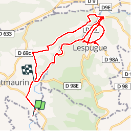

17.5 km | 21 km-effort

User


FREE GPS app for hiking
 SityTrail
IGN / Geographical institutes
SityTrail World
The world is yours!
Trail Walking of 10.7 km to be discovered at Occitania, Haute-Garonne, Montmaurin. This trail is proposed by tracegps.
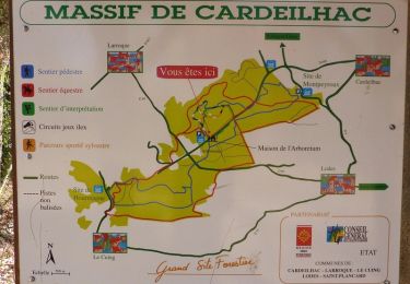
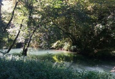
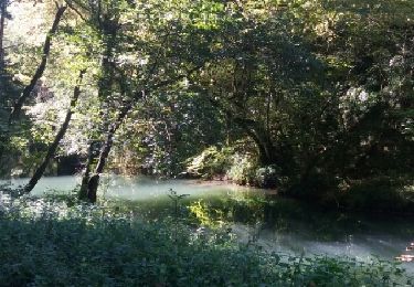
Randonnée agréable et facile. Attention, il peut faire bien froid dans les gorges (environ 3 km).

Walking
Walking
Walking
Walking

Walking
Walking

Walking
Walking
Walking
itinéraire fermé obligé de passer le long de la route. Rien vu des gorges.... 😭
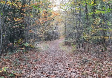
Belle balade, des deux côtés en haut des gorges puis à l'intérieur.