


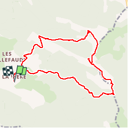

12 km | 24 km-effort


User


FREE GPS app for hiking
 SityTrail
IGN / Geographical institutes
SityTrail World
The world is yours!
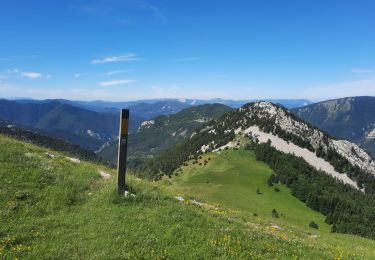
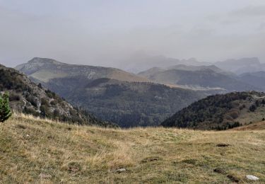
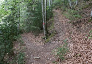
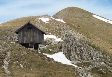
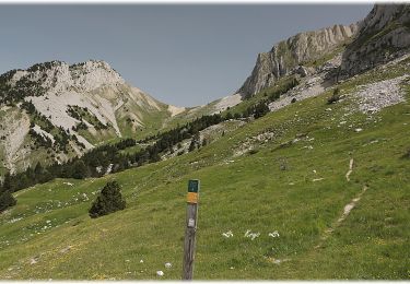
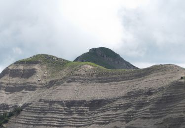
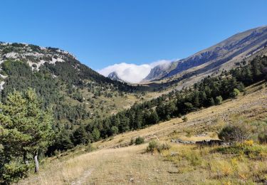
Trail Walking of 10.4 km to be discovered at Auvergne-Rhône-Alpes, Drôme, Glandage. This trail is proposed by ajd26.
Au départ du hameau de Viere. Nbreuses variantes possibles
Walking

Walking
Walking
Walking
Walking
Walking
Walking
Walking

Walking