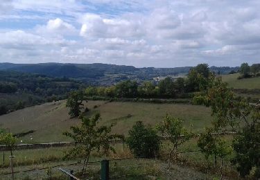
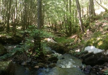
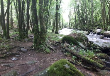
Trail Mountain bike Quarré-les-Tombes - Grande Traversée du Morvan : Quarré les Tombes - Saulieu - Photo

Grande Traversée du Morvan : Quarré les Tombes - Saulieu

 tracegps
tracegps

User

© OpenStreetMap contributors
Length
Length
46 km
Max alt
Max alt
674 m
Uphill gradient
Uphill gradient
1007 m
Km-Effort
Km-Effort  
59 km
Min alt
Min alt
368 m
Downhill gradient
Downhill gradient
930 m
Boucle
Boucle
No
Creation date :
2014-12-10 00:00:00.0
Updated on :
2014-12-10 00:00:00.0

(0 Reviews)

Mountain bike
Mountain bike
5h30
Difficulty : Difficult

Scan this QR Code to open this trail in the SityTrail application

FREE GPS app for hiking

Logo SityTrail SityTrail

IGN / Geographical institutes

Download SityTrail from the App Store Download SityTrail from Google Play

Logo SityTrail SityTrail World

The world is yours!

Download SityTrail from the App Store Download SityTrail from Google Play Download SityTrail on Huawei AppGallery

About

Trail Mountain bike of 46 km to be discovered at Bourgogne-Franche-Comté, Yonne, Quarré-les-Tombes. This trail is proposed by tracegps.

Description

Labellisée par la Fédération française de Cyclisme, la Grande Traversée du Morvan à VTT (la "GTM") est un itinéraire linéaire qui, à l'horizon 2011, reliera Avallon, dans l’Yonne, à Autun en Saône et Loire, via Saulieu (Côte d’Or) et les principaux sites naturels et touristiques de la région : les lacs du Crescent, de Saint Agnan, des Settons, le Haut Folin, le Mont Beuvray...

Elevation profile

Photos

Points of interest

Point of interest Quarré-les-Tombes - Start of Track - Photo
tracegps
QUARRÉ-LES-TOMBES 
Point of interest Saulieu - End of Track - Photo
tracegps
SAULIEU 

Positioning

Country:
France
Region :
Bourgogne-Franche-Comté
Department/Province :
Yonne
Municipality :
Quarré-les-Tombes
Location:
Unknown
Start:(UTM)
575483 ; 5246537 (31T) N.

Trails nearby

Trail Walking Marigny-l'Église - Marigny l'Eglise, Chalaux - Photo
Walking
nicolibris

Walking

Medium
Marigny-l'Église, Bourgogne-Franche-Comté, Nièvre, France
10.7 km | 15 km-effort
3h 20min
Yes
Trail Walking Saint-Léger-Vauban - Abbaye-Quarre-Abbaye - Photo
Walking
Yannick89

Walking

Very easy
Saint-Léger-Vauban, Bourgogne-Franche-Comté, Yonne, France
19.2 km | 25 km-effort
5h 12min
Yes
Trail Running Saint-Léger-Vauban - la pierre qui vire - Photo
Running
dadodeca

Running

Medium
Saint-Léger-Vauban, Bourgogne-Franche-Comté, Yonne, France
29 km | 39 km-effort
2h 6min
No
Trail Mountain bike Quarré-les-Tombes - 2 Quarré Saulieu 46km 761m - Photo
Mountain bike
topolino

Mountain bike

Very difficult
Quarré-les-Tombes, Bourgogne-Franche-Comté, Yonne, France
80 km | 101 km-effort
7h 1min
No
Trail Mountain bike Marigny-l'Église - Marigny Saulieu - Photo
Mountain bike
Carnzu

Mountain bike

Very difficult
Marigny-l'Église, Bourgogne-Franche-Comté, Nièvre, France
49 km | 62 km-effort
6h 24min
No
Trail Walking Marigny-l'Église - RIF-04-22-3 du 18.04.2022 - Photo
Walking
bene_dictus77

Walking

Easy
Marigny-l'Église, Bourgogne-Franche-Comté, Nièvre, France
14.9 km | 19.5 km-effort
4h 48min
No
Trail Walking Quarré-les-Tombes - La Cure - Photo
Walking
RAY25

Walking

Very difficult
Quarré-les-Tombes, Bourgogne-Franche-Comté, Yonne, France
19.2 km | 27 km-effort
6h 8min
Yes
Trail On foot Saint-Léger-Vauban - 9464831-St Léger Vauban 22.86 - Photo
On foot
togolo28

On foot

Medium
Saint-Léger-Vauban, Bourgogne-Franche-Comté, Yonne, France
23 km | 30 km-effort
Unknown
Yes
Trail On foot Saint-Léger-Vauban - 9464730-St Léger Vauban - Photo
On foot
togolo28

On foot

Medium
Saint-Léger-Vauban, Bourgogne-Franche-Comté, Yonne, France
18.3 km | 23 km-effort
Unknown
Yes


Close
My subscriptions