


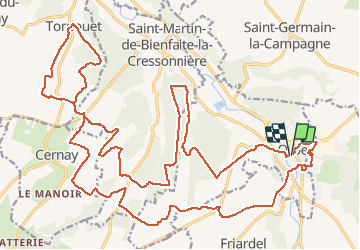

16.3 km | 17.4 km-effort


User


FREE GPS app for hiking
 SityTrail
IGN / Geographical institutes
SityTrail World
The world is yours!
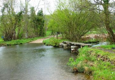
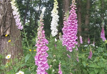
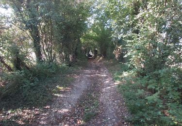
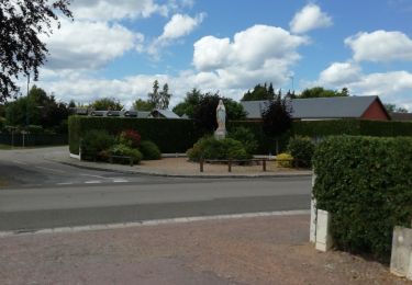
Trail Mountain bike of 33 km to be discovered at Normandy, Calvados, Orbec. This trail is proposed by tracegps.
Départ : Place de la Mairie Au travers des traces GPS que je mets en ligne, vous revivrez les parcours VTT qui nous sont proposés le dimanche matin par les différents clubs de notre région. Ces parcours vous emmènerons sur des chemins plus ludiques et techniques les uns que les autres. Un vrai régal pour les VTTistes que nous sommes...
Cycle
Walking
Walking

Walking
Walking

Walking
Walking
Walking
Walking