


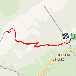

7.5 km | 10.5 km-effort


User


FREE GPS app for hiking
 SityTrail
IGN / Geographical institutes
SityTrail World
The world is yours!
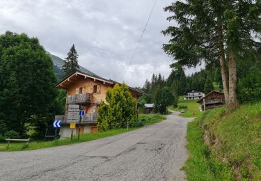
Trail Walking of 8.9 km to be discovered at Auvergne-Rhône-Alpes, Upper Savoy, Saint-Jean-de-Sixt. This trail is proposed by olivecoco.
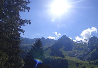
Montée raide mais avec un superbe panorama et une bonne exposition. Possibilité de nombreuses boucles.

Mountain bike
Mountain bike
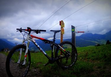
Mountain bike
Walking
Mountain bike

Walking
Walking

Snowshoes
Walking