


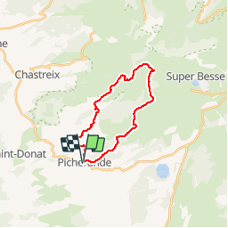


14.9 km | 19.8 km-effort

User


FREE GPS app for hiking
 SityTrail
IGN / Geographical institutes
SityTrail World
The world is yours!
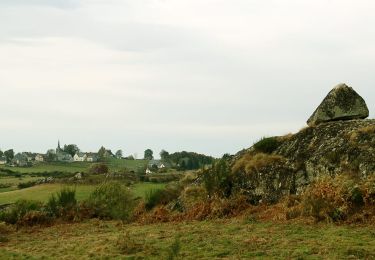
Trail Walking of 20 km to be discovered at Auvergne-Rhône-Alpes, Puy-de-Dôme, Picherande. This trail is proposed by tracegps.
Depuis Picherande, on accède au fond de la vallée glacière de la Fontaine Salée en montant très progressivement. D'abord on traverse des zones de prairies puis viennent les estives au dessus de la Morangie. L'itinéraire très varié ne présente aucune difficulté. Depuis Chareire (autre point de départ possible) on peut ne faire que la partie haute de l'itinéraire et revenir, après le col de la Geneste, par un sentier qui longe la D129.


Mountain bike
On foot
On foot
On foot

On foot
Walking
Walking
Walking
4x4