Trail Walking Rocles - Le sentier des noisetiers - Rocles - Photo

Le sentier des noisetiers - Rocles

 tracegps
tracegps

User

© OpenStreetMap contributors
Length
Length
4.4 km
Max alt
Max alt
452 m
Uphill gradient
Uphill gradient
93 m
Km-Effort
Km-Effort  
5.6 km
Min alt
Min alt
390 m
Downhill gradient
Downhill gradient
93 m
Boucle
Boucle
Yes
Creation date :
2014-12-10 00:00:00.0
Updated on :
2014-12-10 00:00:00.0

(0 Reviews)

Walking
Walking
1h04
Difficulty : Easy

Scan this QR Code to open this trail in the SityTrail application

FREE GPS app for hiking

Logo SityTrail SityTrail

IGN / Geographical institutes

Download SityTrail from the App Store Download SityTrail from Google Play

Logo SityTrail SityTrail World

The world is yours!

Download SityTrail from the App Store Download SityTrail from Google Play Download SityTrail on Huawei AppGallery

About

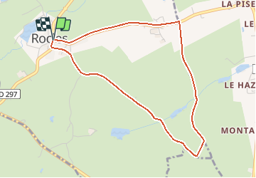
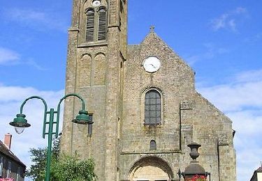
Trail Walking of 4.4 km to be discovered at Auvergne-Rhône-Alpes, Allier, Rocles. This trail is proposed by tracegps.

Description

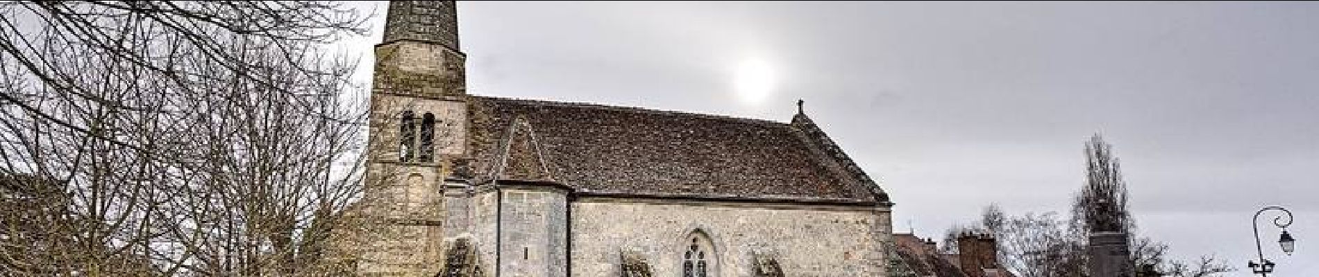
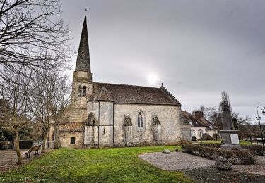
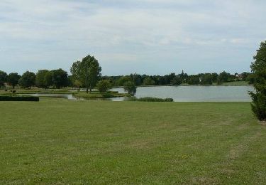
Fruit d'un travail de partenariat remarquable entre la commune de Rocles, l'école et une association de protection de l'environnement, Allier-Nature, l'aménagement du sentier des Montazeauds comportait une action originale : la plantation d'une haie conservatoire qui réunit sur 250m un maximum d'essences typiques de la haie bocagère bourbonnaise. Départ de la mairie de Rocles. Retrouvez les informations sur le circuit sur le site de la commune de Rocles.

Elevation profile

Photos

Positioning

Country:
France
Region :
Auvergne-Rhône-Alpes
Department/Province :
Allier
Municipality :
Rocles
Location:
Unknown
Start:(UTM)
502417 ; 5141145 (31T) N.

Trails nearby

Trail Mountain bike Le Montet - Bocage - Le Montet - Photo
Mountain bike
tracegps

Mountain bike

Medium
Le Montet, Auvergne-Rhône-Alpes, Allier, France
53 km | 67 km-effort
3h 30min
Yes
Trail Walking Tronget - Circuit de Tronget  - Photo
Walking
tracegps

Walking

Medium
Tronget, Auvergne-Rhône-Alpes, Allier, France
8.9 km | 10.7 km-effort
2h 15min
Yes
Trail Mountain bike Le Montet - Bocage  25 - Le Montet - Photo
Mountain bike
tracegps

Mountain bike

Easy
Le Montet, Auvergne-Rhône-Alpes, Allier, France
23 km | 28 km-effort
1h 30min
Yes
Trail Hybrid bike Buxières-les-Mines - ROCLES - Photo
Hybrid bike
Philippe.lebrou

Hybrid bike

Easy
Buxières-les-Mines, Auvergne-Rhône-Alpes, Allier, France
22 km | 25 km-effort
3h 0min
No


Close
My subscriptions