Trail Equestrian Audressein - Boucle en Haut-Couserans - Audressein - Saint-Girons - Photo

Boucle en Haut-Couserans - Audressein - Saint-Girons

 tracegps
tracegps

User

© OpenStreetMap contributors
Length
Length
17.7 km
Max alt
Max alt
822 m
Uphill gradient
Uphill gradient
796 m
Km-Effort
Km-Effort  
29 km
Min alt
Min alt
414 m
Downhill gradient
Downhill gradient
881 m
Boucle
Boucle
No
Creation date :
2014-12-10 00:00:00.0
Updated on :
2014-12-10 00:00:00.0

(0 Reviews)

Equestrian
Equestrian
1h30
Difficulty : Difficult

Scan this QR Code to open this trail in the SityTrail application

FREE GPS app for hiking

Logo SityTrail SityTrail

IGN / Geographical institutes

Download SityTrail from the App Store Download SityTrail from Google Play

Logo SityTrail SityTrail World

The world is yours!

Download SityTrail from the App Store Download SityTrail from Google Play Download SityTrail on Huawei AppGallery

About

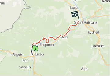
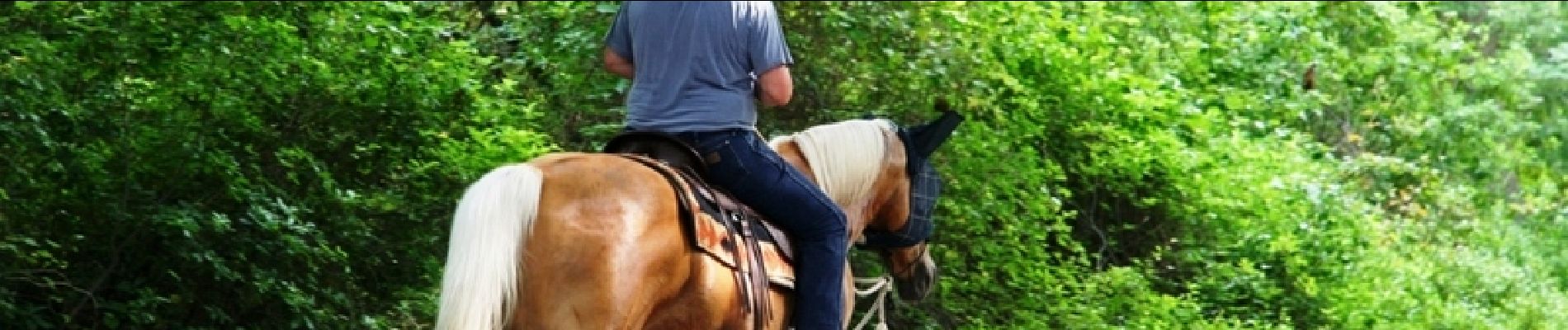
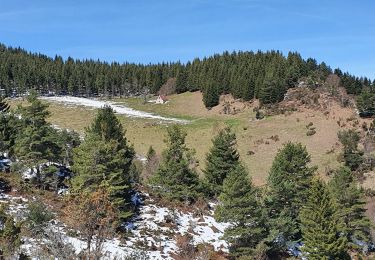
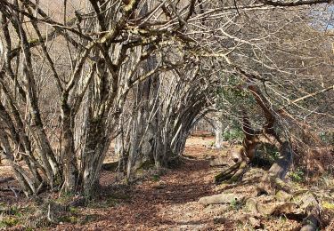
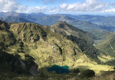
Trail Equestrian of 17.7 km to be discovered at Occitania, Ariège, Audressein. This trail is proposed by tracegps.

Description

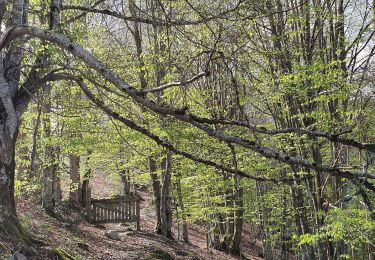
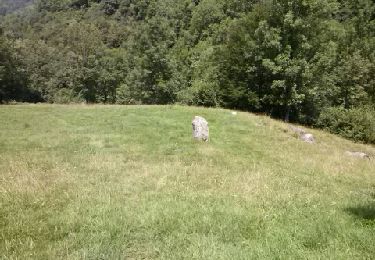
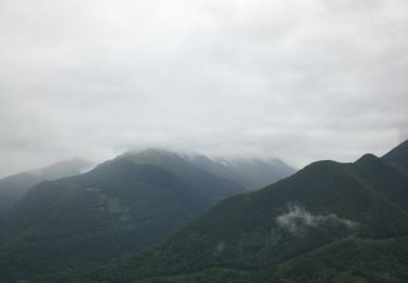
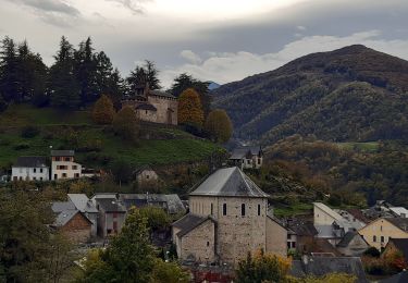
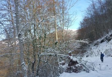
Quatrième et dernière étape de la Boucle en Haut-Couserans. D’autres infos ICI. Balade proposée par le Bureau des Guides Équestres Transpyrénéens

Elevation profile

Photos

Positioning

Country:
France
Region :
Occitania
Department/Province :
Ariège
Municipality :
Audressein
Location:
Unknown
Start:(UTM)
338671 ; 4754914 (31T) N.

Trails nearby

Trail Walking Arrien-en-Bethmale - Les granges de la Serre depuis Tournac-La Bouche. - Photo
Walking
chrisgps

Walking

Medium
(1)
Arrien-en-Bethmale, Occitania, Ariège, France
15 km | 26 km-effort
6h 39min
Yes
Trail Walking Salsein - Cabane et pic de l'Arraing depuis Salsein - Photo
Walking
chrisgps

Walking

Medium
Salsein, Occitania, Ariège, France
11.7 km | 21 km-effort
4h 43min
Yes
Trail Walking Arrien-en-Bethmale - Les granges de la Serre depuis Tournac-Bouche. - Photo
Walking
chrisgps

Walking

Medium
Arrien-en-Bethmale, Occitania, Ariège, France
14.6 km | 25 km-effort
7h 33min
Yes
Trail Walking Balaguères - Boucle autour de Balagué - Photo
Walking
counoise

Walking

Easy
Balaguères, Occitania, Ariège, France
7.1 km | 12.9 km-effort
2h 38min
Yes
Trail Walking Bethmale - etang bethmale - Photo
Walking
fbienmuller

Walking

Easy
(1)
Bethmale, Occitania, Ariège, France
12.2 km | 18.2 km-effort
3h 19min
Yes
Trail Walking Arrien-en-Bethmale - Lac de Bethmale - Photo
Walking
jlmauriz

Walking

Difficult
Arrien-en-Bethmale, Occitania, Ariège, France
23 km | 44 km-effort
8h 9min
No
Trail On foot Salsein - Les crêtes de la Vallée du Biros - Photo
On foot
PRO

On foot

Easy
Salsein, Occitania, Ariège, France
10 km | 18 km-effort
4h 6min
No
Trail Walking Castillon-en-Couserans - Castillon Audreissen Cescau - Photo
Walking
counoise

Walking

Easy
Castillon-en-Couserans, Occitania, Ariège, France
6.3 km | 8.2 km-effort
1h 33min
Yes
Trail Walking Arrien-en-Bethmale - les granges de la Serre en boucle - Photo
Walking
chrisgps

Walking

Medium
(1)
Arrien-en-Bethmale, Occitania, Ariège, France
18.7 km | 30 km-effort
6h 21min
Yes


Close
My subscriptions