


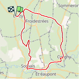

64 km | 77 km-effort

User


FREE GPS app for hiking
 SityTrail
IGN / Geographical institutes
SityTrail World
The world is yours!
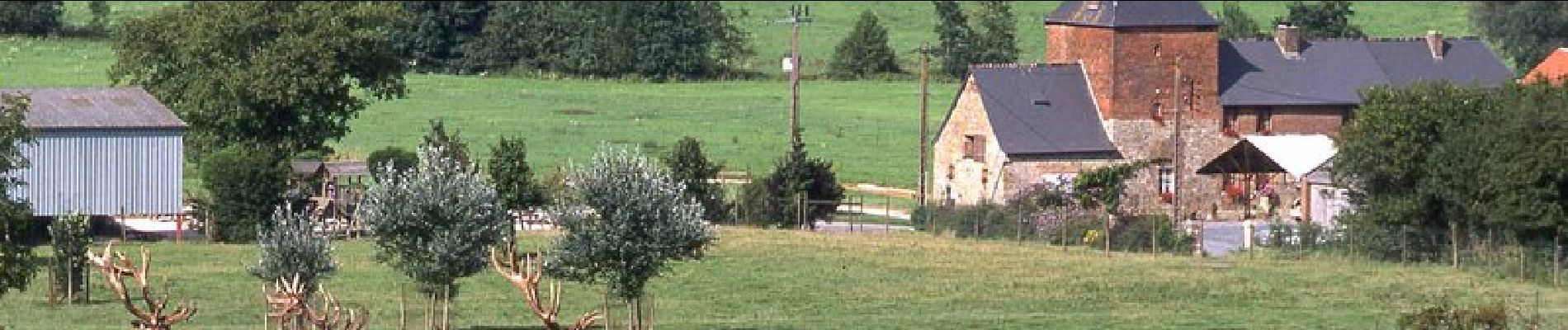
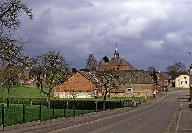
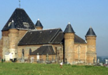
Trail Walking of 17.7 km to be discovered at Hauts-de-France, Aisne, Lerzy. This trail is proposed by tracegps.
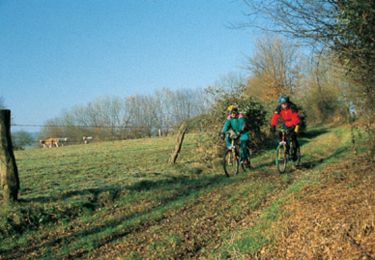
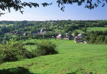
Bordés de belles haies arbustives ou ployées, chemins creux et sentiers traversent des prairies luxuriantes. Toutes les infos sont ICI


Mountain bike
Walking
Mountain bike
Walking

Electric bike

Walking
Walking
Walking

Canoe - kayak