


13.8 km | 16.8 km-effort


User


FREE GPS app for hiking
 SityTrail
IGN / Geographical institutes
SityTrail World
The world is yours!
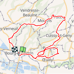
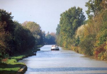
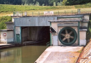
Trail Walking of 19.5 km to be discovered at Hauts-de-France, Aisne, Bourg-et-Comin. This trail is proposed by tracegps.
Au sud du Chemin des Dames, dans la vallée de l'Aisne, cette excursion met en valeur un type d'habitat peu connu, aménagé directement dans le rocher. Le village de Paissy possède encore de nombreuses creuttes. Toutes les infos sont ICI

Walking
Walking
Walking
Mountain bike
Walking

Walking
Walking
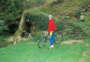
Mountain bike
Walking
Très bien cela permet vraiment d éviter les erreurs , positionnement très précis