Trail Walking Coucy-lès-Eppes - Le mont Héraut - Photo
 tracegps
tracegps

User

© OpenStreetMap contributors
Length
Length
12.7 km
Max alt
Max alt
204 m
Uphill gradient
Uphill gradient
189 m
Km-Effort
Km-Effort  
15.2 km
Min alt
Min alt
86 m
Downhill gradient
Downhill gradient
189 m
Boucle
Boucle
Yes
Creation date :
2014-12-10 00:00:00.0
Updated on :
2014-12-10 00:00:00.0

(0 Reviews)

Walking
Walking
3h30
Difficulty : Very difficult

Scan this QR Code to open this trail in the SityTrail application

FREE GPS app for hiking

Logo SityTrail SityTrail

IGN / Geographical institutes

Download SityTrail from the App Store Download SityTrail from Google Play

Logo SityTrail SityTrail World

The world is yours!

Download SityTrail from the App Store Download SityTrail from Google Play Download SityTrail on Huawei AppGallery

About

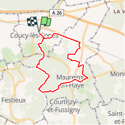
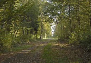
Trail Walking of 12.7 km to be discovered at Hauts-de-France, Aisne, Coucy-lès-Eppes. This trail is proposed by tracegps.

Description

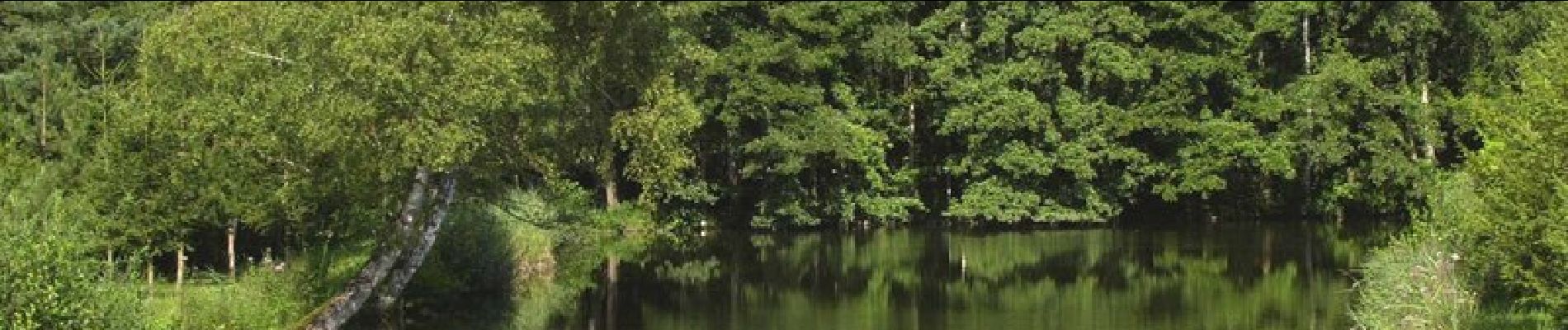
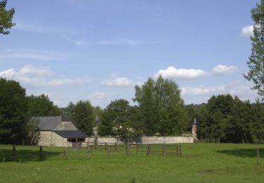
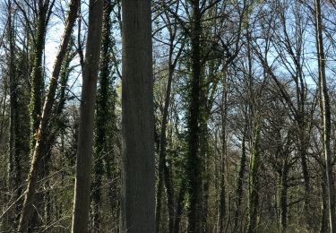
Vallonné, ce circuit commence au milieu des cultures, puis passe au pied du mont Héraut avant de traverser Mauregny-en-Haye, entre l'église Saint-Martin et l'horloge du château. Toutes les infos sont ICI

Elevation profile

Photos

Positioning

Country:
France
Region :
Hauts-de-France
Department/Province :
Aisne
Municipality :
Coucy-lès-Eppes
Location:
Unknown
Start:(UTM)
555907 ; 5489323 (31U) N.

Trails nearby

Trail Walking Montaigu - La rosière - Photo
Walking
tracegps

Walking

Medium
(1)
Montaigu, Hauts-de-France, Aisne, France
5.7 km | 7.7 km-effort
1h 45min
Yes
Trail Walking Mauregny-en-Haye - Le bois Françon - Photo
Walking
tracegps

Walking

Very difficult
(1)
Mauregny-en-Haye, Hauts-de-France, Aisne, France
8.4 km | 11.2 km-effort
3h 15min
Yes
Trail Walking Samoussy - Samoussy - Photo
Walking
jldequin

Walking

Medium
Samoussy, Hauts-de-France, Aisne, France
6.4 km | 6.9 km-effort
1h 48min
Yes
Trail Walking Samoussy - Le Nayer - Photo
Walking
tracegps

Walking

Easy
Samoussy, Hauts-de-France, Aisne, France
5.6 km | 6.1 km-effort
1h 30min
Yes
Trail Walking Parfondru - Parfondru 1 - Photo
Walking
mick211

Walking

Medium
Parfondru, Hauts-de-France, Aisne, France
7.4 km | 8.4 km-effort
1h 36min
Yes
Trail Walking Samoussy - Le Cathare - Photo
Walking
tracegps

Walking

Easy
Samoussy, Hauts-de-France, Aisne, France
2.5 km | 2.8 km-effort
45min
Yes
Trail Walking Parfondru - Un bain de nature entre deux terroirs - Photo
Walking
tracegps

Walking

Very difficult
Parfondru, Hauts-de-France, Aisne, France
14.5 km | 17.2 km-effort
4h 0min
Yes
Trail Walking Samoussy - Le Nayer  - variante - Photo
Walking
tracegps

Walking

Medium
Samoussy, Hauts-de-France, Aisne, France
7.8 km | 8.5 km-effort
2h 15min
Yes
Trail Walking Parfondru - Autour de Parfondru 02 - Photo
Walking
José800

Walking

Medium
Parfondru, Hauts-de-France, Aisne, France
10 km | 11.5 km-effort
2h 36min
Yes


Close
My subscriptions