


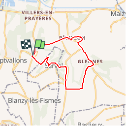

13.8 km | 16.8 km-effort

User


FREE GPS app for hiking
 SityTrail
IGN / Geographical institutes
SityTrail World
The world is yours!
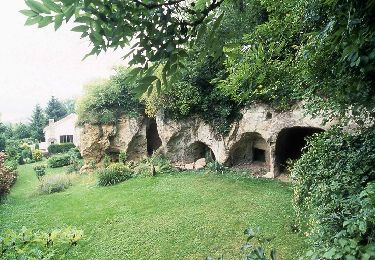
Trail Walking of 11.1 km to be discovered at Hauts-de-France, Aisne, Les Septvallons. This trail is proposed by tracegps.
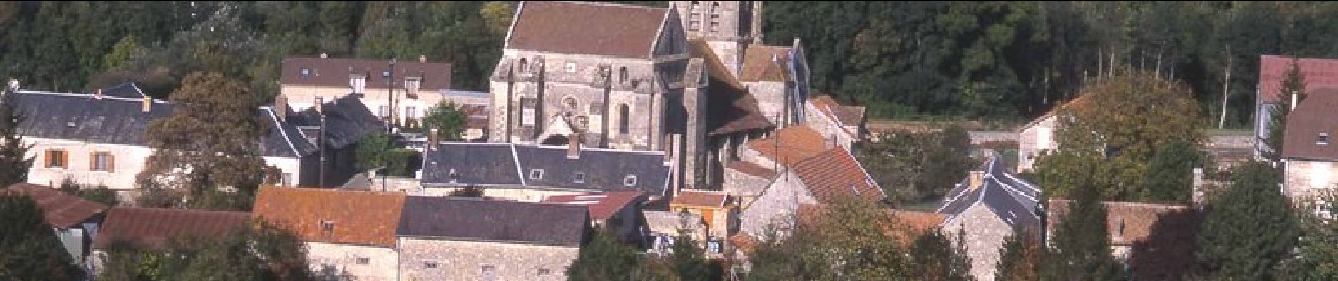
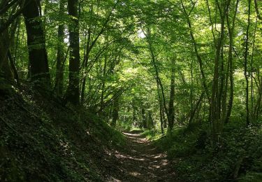
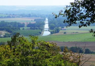
De plateau en gorge boisée et de vallée en plateau couvert de belles cultures, un circuit tout en montées et en descentes, qui offre de vastes panoramas, entre cinq villages riches de leur église et de leurs creuttes, ces curieux habitats troglodytiques. Toutes les infos sont ICI


Walking
Walking
Walking
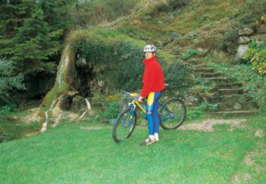
Mountain bike

Walking
Mountain bike

Walking
Walking
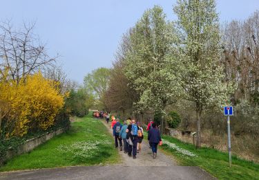
Walking