


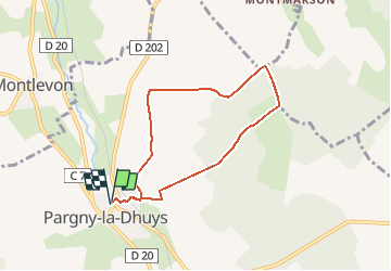

12.4 km | 15.3 km-effort


User


FREE GPS app for hiking
 SityTrail
IGN / Geographical institutes
SityTrail World
The world is yours!
Trail Walking of 6.4 km to be discovered at Hauts-de-France, Aisne, Pargny-la-Dhuys. This trail is proposed by tracegps.
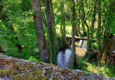
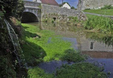
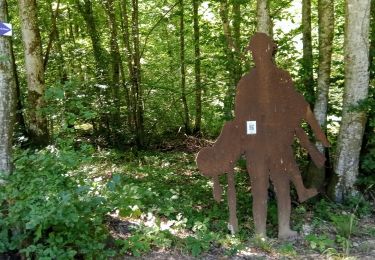
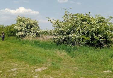
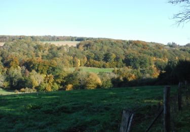
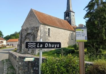
De la Dhuys naissante, captée à Pargny, le chemin rejoint le vallon boisé de la Verdonnelle. On s'y croirait au bout du monde : le plateau, les pâturages et les hameaux épars concourent à ce sentiment d'isolement et de sérénité. Toutes les infos sont ICI
Walking
Walking

Walking
Walking
Walking
Walking
Walking
Walking

Walking