


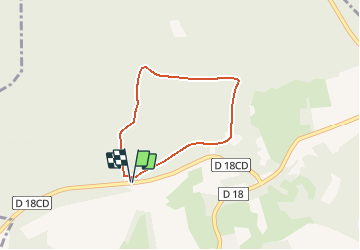

10.8 km | 13.4 km-effort

User


FREE GPS app for hiking
 SityTrail
IGN / Geographical institutes
SityTrail World
The world is yours!
Trail Walking of 2.5 km to be discovered at Hauts-de-France, Aisne, Craonne. This trail is proposed by tracegps.
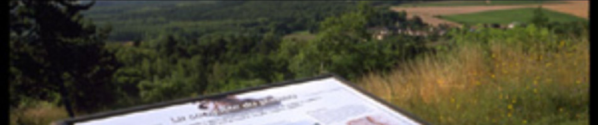
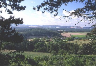
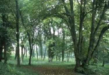
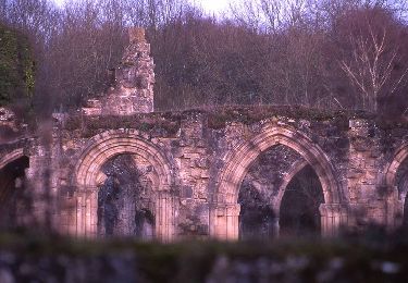
Balade courte et facile au départ du belvédère du plateau de Californie. Le parcours en corniche, jalonné de panneaux thématiques sur la Grande Guerre, offre de belles perspectives sur la vallée de l'Aisne située en contrebas. Toutes les infos sont ICI


Walking
Walking
Walking
Walking

Walking
Walking
Walking
Walking