


9 km | 12 km-effort

User


FREE GPS app for hiking
 SityTrail
IGN / Geographical institutes
SityTrail World
The world is yours!
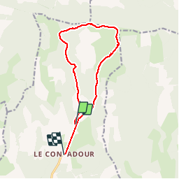
Trail Walking of 13.2 km to be discovered at Provence-Alpes-Côte d'Azur, Alpes-de-Haute-Provence, Redortiers. This trail is proposed by Dervalmarc.
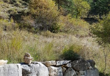
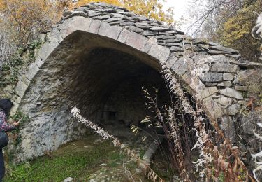
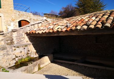
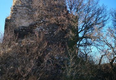
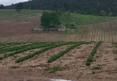
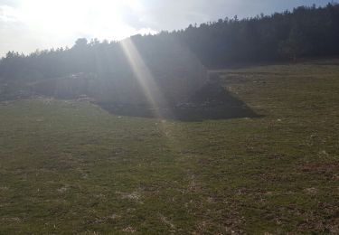
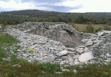
Randonnée superbe entre haut plateaux, bergeries, et Nonbreux panorama en crêtes.
Luminosité unique de la haute Provence..
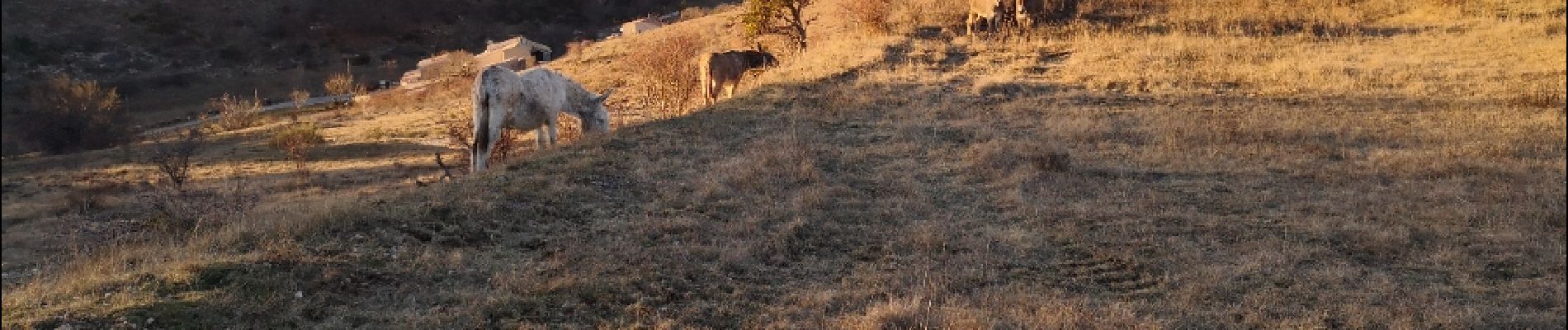
. - Photo 1")
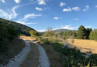
. - Photo 2")
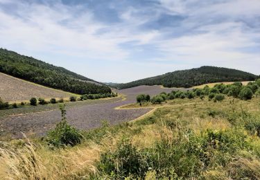
. - Photo 3")
. - Photo 4")
. - Photo 5")
. - Photo 6")
. - Photo 7")
. - Photo 8")
. - Photo 9")
. - Photo 10")
. - Photo 11")
. - Photo 12")
. - Photo 13")
. - Photo 14")
. - Photo 15")
. - Photo 16")
. - Photo 17")
. - Photo 18")
Walking
Walking
Walking
Walking
Walking
Walking
Walking
Walking
Walking