


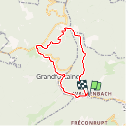

12.6 km | 16.9 km-effort

User


FREE GPS app for hiking
 SityTrail
IGN / Geographical institutes
SityTrail World
The world is yours!
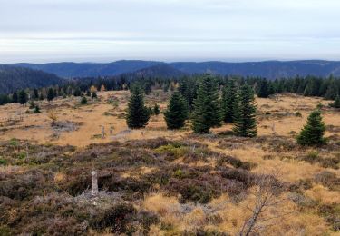
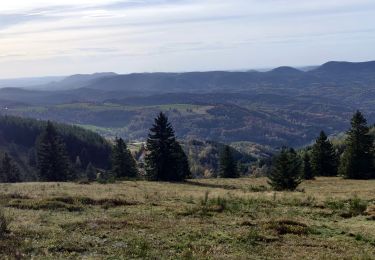
Trail Walking of 12.5 km to be discovered at Grand Est, Bas-Rhin, Schirmeck. This trail is proposed by tracegps.
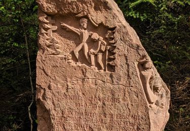
Le Donon. Petite balade dans la vallée de la Bruche, plus précisément au Donon, un des sommets majeurs des Vosges du Nord. C'est un site riche d'une histoire humaine plusieurs fois millénaire que vous allez découvrir au cours de cette randonnée. Découvrez la suite sur le site de la Communauté des Crapahuteurs.


Walking

Walking

Walking

Walking
Walking
Walking
Walking
Walking
Horseback riding