


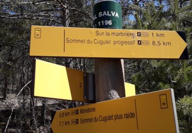
5.1 km | 7.9 km-effort

User


FREE GPS app for hiking
 SityTrail
IGN / Geographical institutes
SityTrail World
The world is yours!
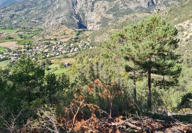
Trail Walking of 17.5 km to be discovered at Provence-Alpes-Côte d'Azur, Hautes-Alpes, Mont-Dauphin. This trail is proposed by tracegps.
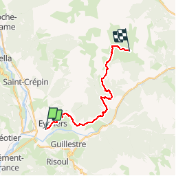
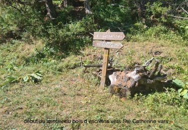
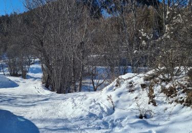
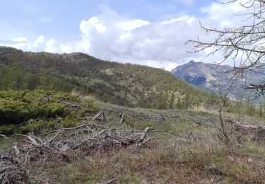
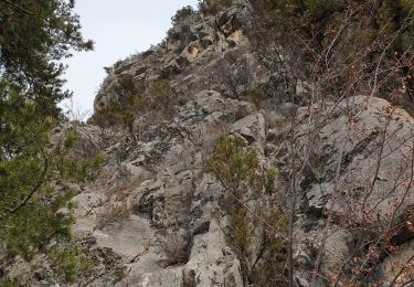
Via Alpina - R131: Mont-Dauphin (Guillestre) > Refuge de Furfande. Peu après Mont-Dauphin, la Via Alpina traverse le village d’Eygliers et rejoint le GR 541 en direction du parc naturel régional du Queyras. Après avoir passé le point culminant situé au col Garnier, le sentier descend vers le refuge de Furfande, au milieu des alpages du même nom et situé également sur le GR 58 Tour du Queyras. Randonnée alpine (passage équipé ou très exposé, névé, blocs). Description complète de l’étape sur Via-Alpina.org.
 > Refuge de Furfande - Photo 1")
Walking
Walking
Walking
Touring skiing
Walking
Walking
Walking
Walking
Walking