


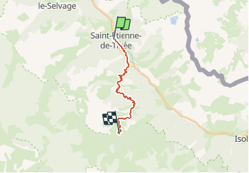

19.5 km | 40 km-effort

User


FREE GPS app for hiking
 SityTrail
IGN / Geographical institutes
SityTrail World
The world is yours!
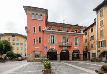
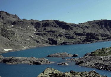
Trail Walking of 13.7 km to be discovered at Provence-Alpes-Côte d'Azur, Maritime Alps, Saint-Étienne-de-Tinée. This trail is proposed by tracegps.
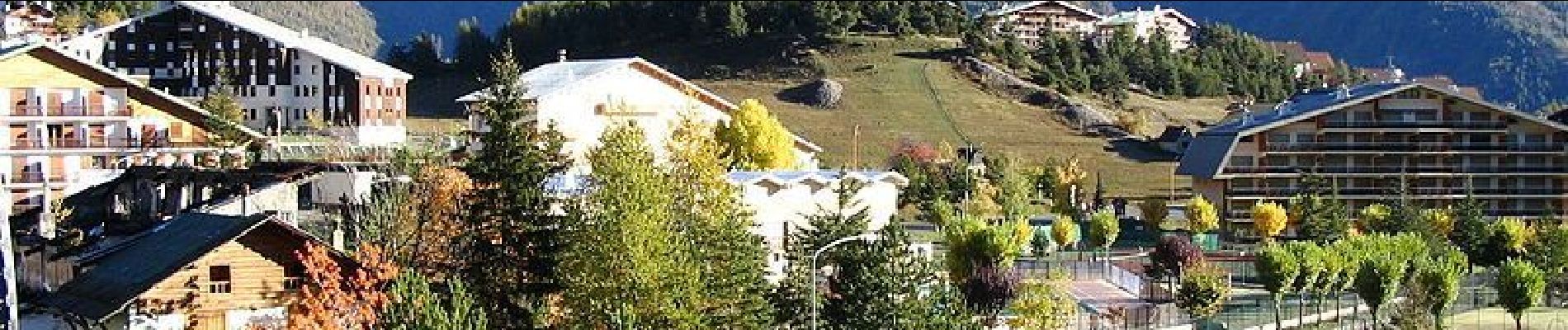
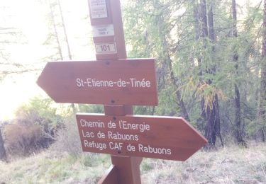
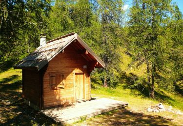
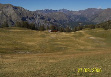
Via Alpina - D55: St-Etienne-de-Tinée > Roya. Poursuivant sur le GR 5, l’itinéraire quitte le village médiéval de St-Etienne-de-Tinée en longeant la rivière de La Tinée puis s’élève vers la station de ski d’Auron qu’elle évite en forêt pour rejoindre le col herbeux du Blainon. Elle accède au point d’étape au hameau de Roya en passant par Clot Giordan. Randonnée alpine (passage équipé ou très exposé, névé, blocs). Description complète de l’étape sur Via-Alpina.org.

Walking

Walking
On foot
On foot
On foot
On foot
On foot
On foot
On foot