


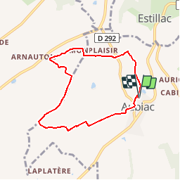


15.2 km | 22 km-effort


User


FREE GPS app for hiking
 SityTrail
IGN / Geographical institutes
SityTrail World
The world is yours!
Trail Walking of 7 km to be discovered at New Aquitaine, Lot-et-Garonne, Aubiac. This trail is proposed by tracegps.
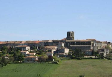
Aubiac / Le Grès Cté Com. du Canton de Laplume en Bruilhois Ce circuit facile, au départ d’un lieu historique de l’art roman en Agenais, traverse cultures céréalières, vignes et bois. Soyez vigilant lors du franchissement de la départementale 656. Téléchargez la fiche de cette randonnée sur le site du Tourisme du Lot et Garonne.


Walking

Mountain bike

Walking

Walking
Walking
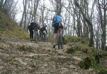
Mountain bike

On foot
On foot
On foot