


7.4 km | 9.6 km-effort


User


FREE GPS app for hiking
 SityTrail
IGN / Geographical institutes
SityTrail World
The world is yours!
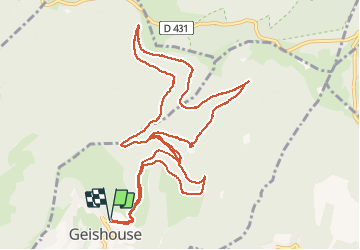
Trail Walking of 13.4 km to be discovered at Grand Est, Haut-Rhin, Geishouse. This trail is proposed by E.BURCK.
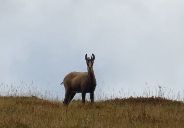
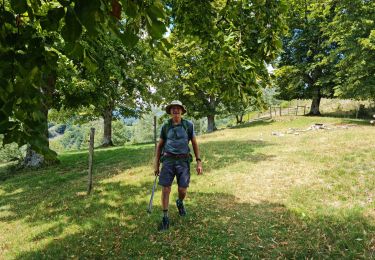
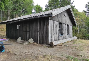
Repas tiré du sac à l'abri du Faucon Crécerelle (1 010 m) au Abrutschfels.
Dans la neige sur ... km

On foot

On foot
Walking
Walking

Walking
Walking
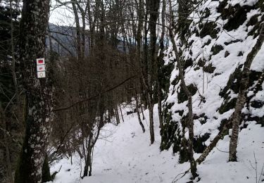
Snowshoes
Walking
Walking