


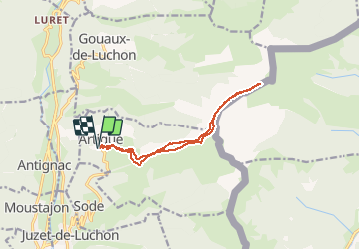

7.1 km | 12.5 km-effort

User


FREE GPS app for hiking
 SityTrail
IGN / Geographical institutes
SityTrail World
The world is yours!
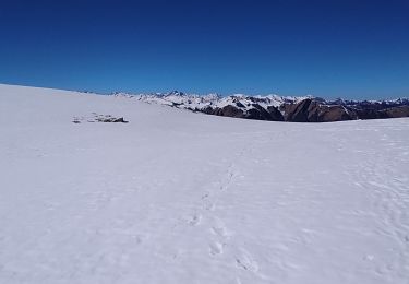
Trail Snowshoes of 12.5 km to be discovered at Occitania, Haute-Garonne, Artigue. This trail is proposed by tracegps.
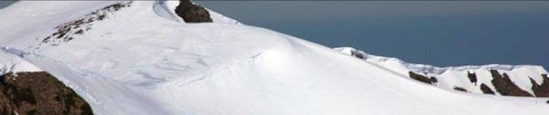
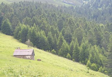
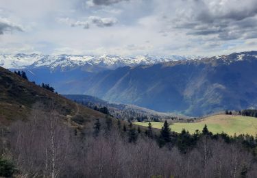
Une randonnée raquette au Pic de Bacanère au dessus de Bagnères de Luchon en passant par la cabane de Saunères, les crêtes de Serrat de Créspès, le Pla de Montmajou et le Col des Taons.


Snowshoes

Walking

Walking

Walking
Walking
Walking
Walking
Walking
On foot